File:GEBCO-Wassertiefe-OpenSeaMap-Welt.jpg
Jump to navigation
Jump to search


Size of this preview: 792 × 600 pixels. Other resolutions: 317 × 240 pixels | 634 × 480 pixels | 1,015 × 768 pixels | 1,173 × 888 pixels.
Original file (1,173 × 888 pixels, file size: 163 KB, MIME type: image/jpeg)
Summary
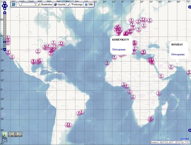
Bathymetric data from GEBCO, processed and used by OpenSeaMap
Licensing
![]()
Contains map data © OpenStreetMap contributors, made available under the terms of the Creative Commons Attribution-ShareAlike 2.0 (CC-BY-SA-2.0).
File history
Click on a date/time to view the file as it appeared at that time.
| Date/Time | Thumbnail | Dimensions | User | Comment | |
|---|---|---|---|---|---|
| current | 15:25, 13 July 2011 | | 1,173 × 888 (163 KB) | Markus B (talk | contribs) | Bathymetric data from GEBCO, processed and used by OpenSeaMap |
You cannot overwrite this file.
File usage
There are no pages that use this file.