File:GpsOpenStreetMap.jpg
Jump to navigation
Jump to search


Size of this preview: 800 × 498 pixels. Other resolutions: 320 × 199 pixels | 640 × 399 pixels | 1,146 × 714 pixels.
Original file (1,146 × 714 pixels, file size: 134 KB, MIME type: image/jpeg)
Summary
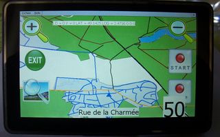
Version beta du GPS avec carte OpenStreetMap
Licensing
![]()
This file has been released into the public domain by the copyright holder, its copyright has expired, or it is ineligible for copyright. This applies worldwide.
Please, please use more specific template such as {{PD-self}} / {{PD-creator}} / {{PD-shape}} / {{PD-USGov}} / {{PD-old}} / {{PD-RU-exempt}} ... This template is not making clear why this work is in the public domain.
Please, please use more specific template such as {{PD-self}} / {{PD-creator}} / {{PD-shape}} / {{PD-USGov}} / {{PD-old}} / {{PD-RU-exempt}} ... This template is not making clear why this work is in the public domain.
File history
Click on a date/time to view the file as it appeared at that time.
| Date/Time | Thumbnail | Dimensions | User | Comment | |
|---|---|---|---|---|---|
| current | 14:31, 13 June 2011 | | 1,146 × 714 (134 KB) | Michel60 (talk | contribs) | |
| 14:29, 13 June 2011 | 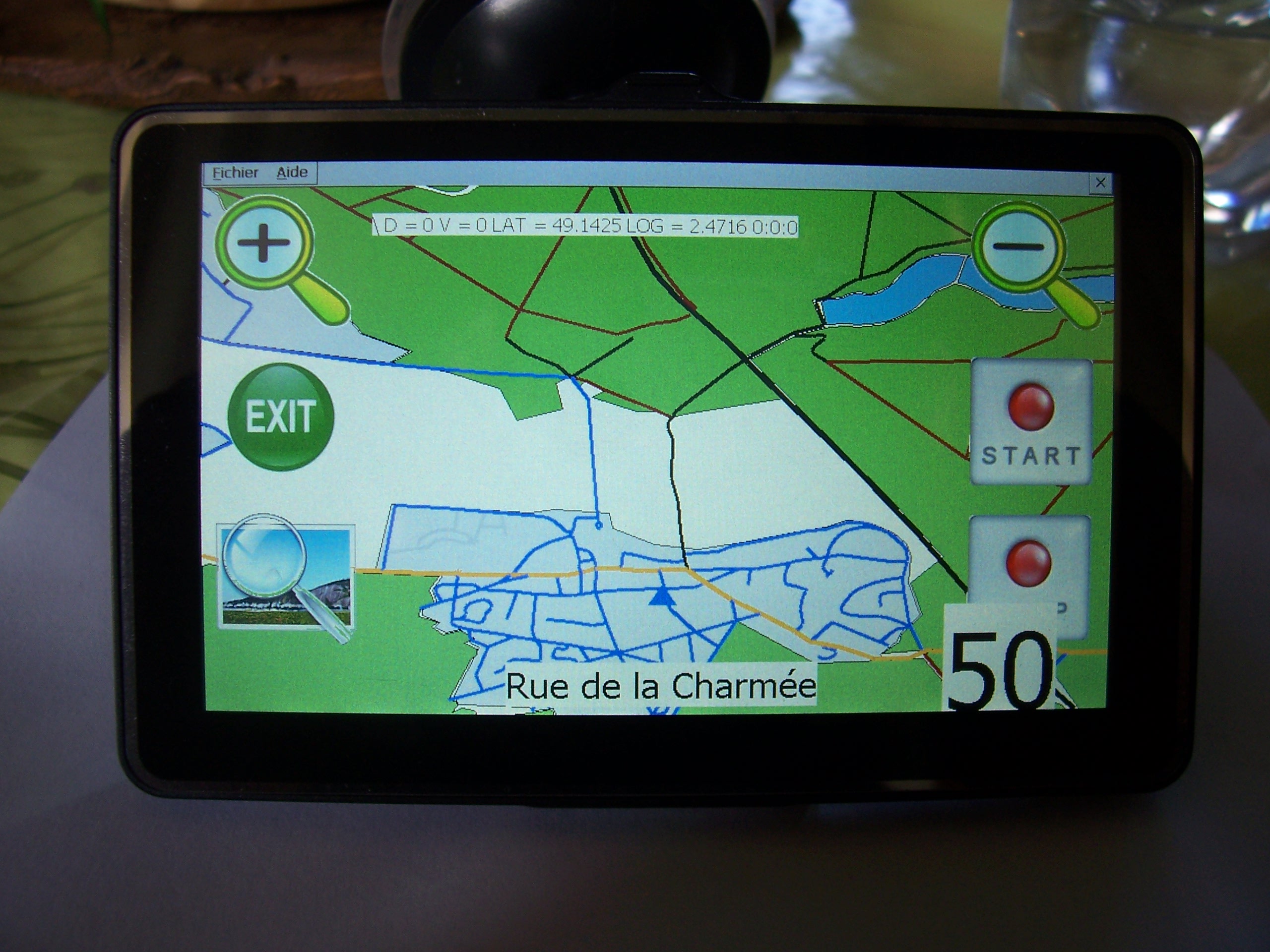 | 2,560 × 1,920 (773 KB) | Michel60 (talk | contribs) | Version beta du GPS avec carte OpenStreetMap |
You cannot overwrite this file.
File usage
The following page uses this file: