File:Greifswald Funkturm Hans-Beimler-Straße July-2010 SL274692.JPG
Jump to navigation
Jump to search


Size of this preview: 450 × 600 pixels. Other resolutions: 180 × 240 pixels | 360 × 480 pixels | 576 × 768 pixels | 768 × 1,024 pixels | 2,304 × 3,072 pixels.
Original file (2,304 × 3,072 pixels, file size: 2.55 MB, MIME type: image/jpeg)
This file and its description are from Wikimedia Commons.
Summary
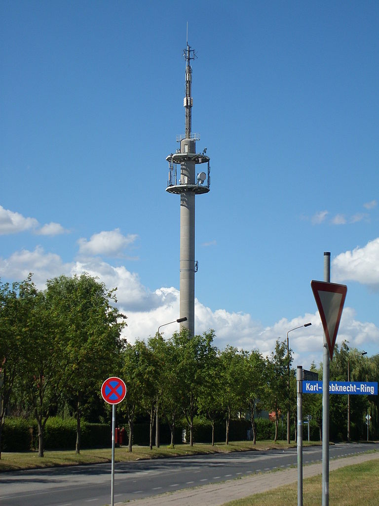
| Description | Funkturm in der Hans-Beimler-Straße |
| Date | |
| Source | Own work |
| Author | C. Löser |
| Camera location | | View this and other nearby images on: OpenStreetMap |
|---|
Licensing
I, the copyright holder of this work, hereby publish it under the following license:
This file is licensed under the Creative Commons Attribution 3.0 Germany license.
- You are free:
- to share – to copy, distribute and transmit the work
- to remix – to adapt the work
- Under the following conditions:
- attribution – You must give appropriate credit, provide a link to the license, and indicate if changes were made. You may do so in any reasonable manner, but not in any way that suggests the licensor endorses you or your use.
File history
Click on a date/time to view the file as it appeared at that time.
| Date/Time | Thumbnail | Dimensions | User | Comment | |
|---|---|---|---|---|---|
| current | 18:07, 18 July 2010 | | 2,304 × 3,072 (2.55 MB) | wikimediacommons>C.Löser | == {{int:filedesc}} == {{Information |Description=Funkturm in der Hans-Beimler-Straße |Source={{own}} |Date=2010-07-18 |Author=C. Löser |Permission= |other_versions= }} {{location dec|54.0822406|13.3972692|heading:335}} == {{int |
File usage
The following 34 pages use this file:
- Cs:Key:tower:type
- Cs:Tag:man made=communications tower
- Key:tower:type
- Pl:Key:tower:type
- Pl:Tag:man made=communications tower
- Pl:Tag:tower:type=communication
- Tag:man made=communications tower
- Tag:tower:type=communication
- Telecoms
- Template:Communications towers
- Template:Cs:Communications towers
- Template:DE:Map Features:Tower:type
- Template:ES:Communications towers
- Template:FR:Map Features:Tower:type
- Template:IT:Map Features:Tower:type
- Template:JA:Communications towers
- Template:JA:Map Features:Tower:type
- Template:Map Features:Tower:type
- Template:Pl:Map Features:Tower:type
- Template:RU:Communications towers
- DE:Key:tower:type
- DE:Tag:man made=communications tower
- FR:Key:tower:type
- ES:Tag:man made=mast
- ES:Tag:tower:type=communication
- IT:Key:tower:type
- IT:Tag:man made=mast
- RU:Key:tower:type
- RU:Tag:man made=communications tower
- RU:Tag:man made=mast
- JA:Key:tower:type
- JA:Tag:man made=communications tower
- JA:Tag:man made=mast
- JA:Tag:man made=tower