File:Indiranagar building number mapping.gif
Jump to navigation
Jump to search
Size of this preview: 800 × 425 pixels. Other resolutions: 320 × 170 pixels | 640 × 340 pixels | 1,150 × 611 pixels.
Original file (1,150 × 611 pixels, file size: 2.44 MB, MIME type: image/gif, looped, 26 frames, 8.9 s)
Note: Due to technical limitations, thumbnails of high resolution GIF images such as this one will not be animated.
Summary
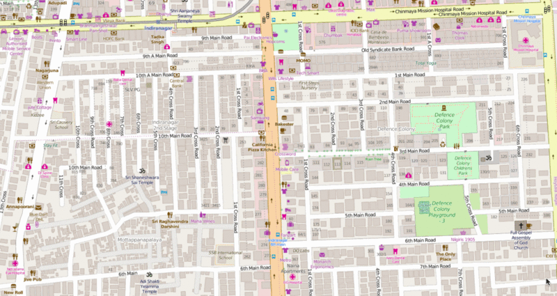
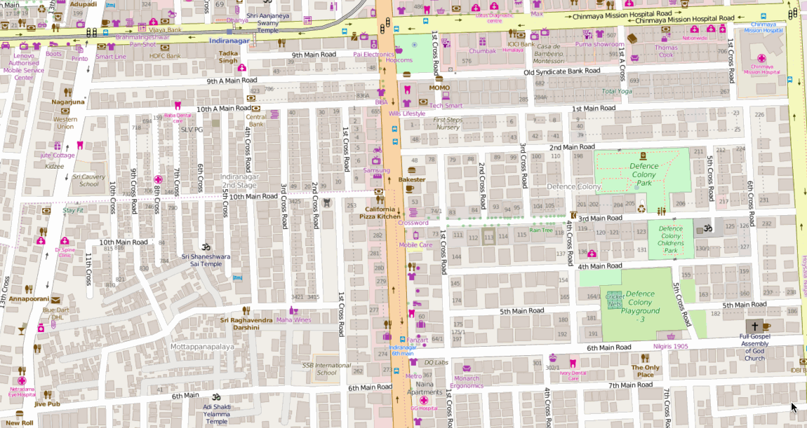
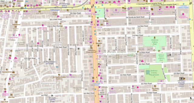
Mapping sprint of buildings and housenumbers in Indiranagar, Bengaluru
Licensing
![]()
![]()
This screenshot contains OpenStreetMap Carto rendering.
The OpenStreetMap Carto map style is made available under the Creative Commons CC-0 1.0 Universal Public Domain Dedication.
- Attribution to the map data:
| Contains map data © OpenStreetMap contributors, made available under the terms of the Open Database License (ODbL).
The ODbL does not require any particular license for maps produced from ODbL data, produced maps may be subject also to other licences. |
File history
Click on a date/time to view the file as it appeared at that time.
| Date/Time | Thumbnail | Dimensions | User | Comment | |
|---|---|---|---|---|---|
| current | 13:54, 3 June 2016 | | 1,150 × 611 (2.44 MB) | Planemad (talk | contribs) | Mapping sprint of buildings and housenumbers in Indiranagar, Bengaluru |
You cannot overwrite this file.
File usage
There are no pages that use this file.