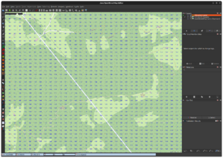
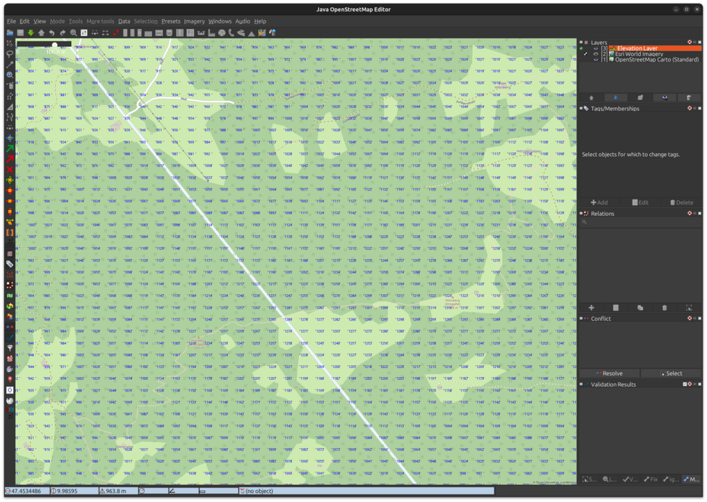
File:JOSM Elevation plugin - Elevation raster.png
Jump to navigation
Jump to search


Size of this preview: 800 × 568 pixels. Other resolutions: 320 × 227 pixels | 640 × 455 pixels | 1,024 × 727 pixels | 1,280 × 909 pixels | 2,288 × 1,625 pixels.
Original file (2,288 × 1,625 pixels, file size: 651 KB, MIME type: image/png)
Summary
| Description | JOSM Elevation plugin - Elevation raster |
|---|---|
| Author | Harald Hetzner |
| Source | Screenshot |
| Date | 2023-12-28 |
Licensing
![]()
This file is a JOSM screenshot, without imagery in a background.
Note: if the file is of data older than September 12, 2012 when different license was used by OSM for maps and data, then use {{JOSM screenshot without imagery|old_license}}
![]()
"JOSM" (Java OpenStreetMap Editor – josm.openstreetmap.de) is free software released under the terms of the GNU General Public License as published by the Free Software Foundation; either version 2 of the license, or any later version.
It may include OpenStreetMap data, in such case ODbL license also applies:
| Contains map data © OpenStreetMap contributors, made available under the terms of the Open Database License (ODbL).
The ODbL does not require any particular license for maps produced from ODbL data, produced maps may be subject also to other licences. |
File history
Click on a date/time to view the file as it appeared at that time.
| Date/Time | Thumbnail | Dimensions | User | Comment | |
|---|---|---|---|---|---|
| current | 09:19, 28 December 2023 | | 2,288 × 1,625 (651 KB) | Hhtznr (talk | contribs) | {{Information | description=JOSM Elevation plugin - Elevation raster | source=Screenshot | date=2023-12-28 | author=Harald Hetzner | other_versions= }} |
You cannot overwrite this file.
File usage
The following page uses this file: