File:Keweenaw Waterway north end.jpg
Jump to navigation
Jump to search


Size of this preview: 800 × 559 pixels. Other resolutions: 320 × 224 pixels | 640 × 448 pixels | 1,024 × 716 pixels | 1,280 × 895 pixels | 1,500 × 1,049 pixels.
Original file (1,500 × 1,049 pixels, file size: 599 KB, MIME type: image/jpeg)
This file and its description are from Wikimedia Commons.
| Description |
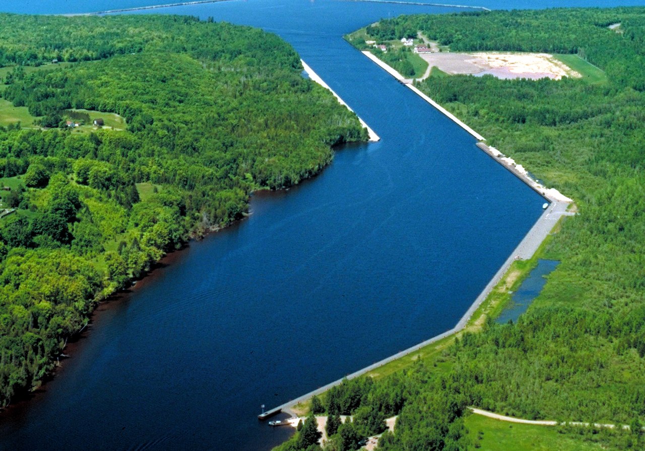
English: North end of the Keweenaw Waterway on the Keweenaw Peninsula in Lake Superior, Michigan, USA. F.J. McClain State Park lies on the lake on the right side of the picture. |
|||
| Date | not specified or unknown | |||
| Source |
U.S. Army Corps of Engineers Digital Visual Library Image page Image description page Digital Visual Library home page |
|||
| Author | U.S. Army Corps of Engineers, photographer not specified or unknown | |||
| Permission (Reusing this file) |
|
|||
| Location | Houghton County, Michigan, USA |
| Camera location | | View this and other nearby images on: OpenStreetMap |
|---|
File history
Click on a date/time to view the file as it appeared at that time.
| Date/Time | Thumbnail | Dimensions | User | Comment | |
|---|---|---|---|---|---|
| current | 04:50, 29 March 2007 | | 1,500 × 1,049 (599 KB) | wikimediacommons>DanMS | {{Information | Description = {{en|North end of the Keweenaw Waterway on the Keweenaw Peninsula in Lake Superior, Michigan, USA. F.J. McClain State Park lies on the lake on the right side of the picture.}} | Source = U.S. Army Corps of Engineer |
File usage
The following 8 pages use this file: