File:Konflikty.gif
Jump to navigation
Jump to search

Size of this preview: 800 × 490 pixels. Other resolutions: 320 × 196 pixels | 640 × 392 pixels | 1,024 × 627 pixels | 1,301 × 797 pixels.
Original file (1,301 × 797 pixels, file size: 27 KB, MIME type: image/gif)
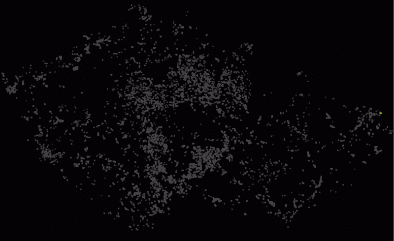
Přehled importů konfliktních vodních ploch DIBAVOD A05
File history
Click on a date/time to view the file as it appeared at that time.
| Date/Time | Thumbnail | Dimensions | User | Comment | |
|---|---|---|---|---|---|
| current | 11:42, 3 September 2010 | | 1,301 × 797 (27 KB) | Medulove (talk | contribs) | Přehled importů konfliktních vodních ploch DIBAVOD A05 |
You cannot overwrite this file.
File usage
The following 2 pages use this file: