File:Lees before 20k.png
Jump to navigation
Jump to search


Size of this preview: 800 × 566 pixels. Other resolutions: 320 × 226 pixels | 640 × 453 pixels | 1,024 × 724 pixels | 1,280 × 905 pixels | 2,560 × 1,810 pixels | 3,507 × 2,480 pixels.
Original file (3,507 × 2,480 pixels, file size: 708 KB, MIME type: image/png)
Summary
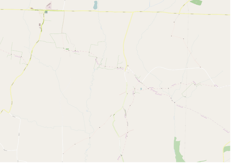
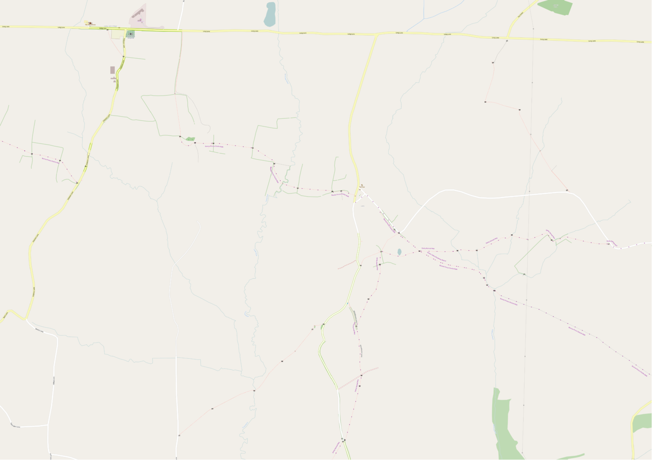
Lees Derbyshire with data 1st October 2018, rendered using SomeoneElse-OSM style.
Licensing
| Contains map data © OpenStreetMap contributors, made available under the terms of the Open Database License (ODbL).
The ODbL does not require any particular license for maps produced from ODbL data, produced maps may be subject also to other licences. |
File history
Click on a date/time to view the file as it appeared at that time.
| Date/Time | Thumbnail | Dimensions | User | Comment | |
|---|---|---|---|---|---|
| current | 19:17, 8 January 2019 | | 3,507 × 2,480 (708 KB) | SK53 (talk | contribs) | Lees Derbyshire with data 1st October 2018, rendered using SomeoneElse-OSM style. |
You cannot overwrite this file.
File usage
The following 2 pages use this file: