File:Lower Table Rock from the south.jpg
Jump to navigation
Jump to search


Size of this preview: 800 × 450 pixels. Other resolutions: 320 × 180 pixels | 640 × 360 pixels | 1,024 × 576 pixels | 1,280 × 720 pixels | 3,072 × 1,728 pixels.
Original file (3,072 × 1,728 pixels, file size: 2.14 MB, MIME type: image/jpeg)
This file and its description are from Wikimedia Commons.
Summary
| Description |
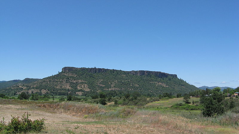
English: I took this picture myself from just off of Kirtland Road, south of Lower Table Rock. The coordinates are approximately 42°25′45″N 122°56′04″W / 42.4291°N 122.9345°W |
| Date | |
| Source | Own work |
| Author | ZabMilenko |
| Camera location | | View this and other nearby images on: OpenStreetMap |
|---|
Licensing
I, the copyright holder of this work, hereby publish it under the following license:
This file is licensed under the Creative Commons Attribution 3.0 Unported license.
- You are free:
- to share – to copy, distribute and transmit the work
- to remix – to adapt the work
- Under the following conditions:
- attribution – You must give appropriate credit, provide a link to the license, and indicate if changes were made. You may do so in any reasonable manner, but not in any way that suggests the licensor endorses you or your use.
Original upload log
The original description page was here. All following user names refer to en.wikipedia.
| Upload date | User | Bytes | Dimensions | Comment |
|---|---|---|---|---|
| 2009-06-07 22:01:13 | ZabMilenko | 2246001 | 3072×1728 | I took this picture myself from just off of Kirtland Road, south of [[Upper and Lower Table Rock|Lower Table Rock]]. The coordinates are approximately {{coor d|42.4291|N|122.9345|display=inline,title}} |
File history
Click on a date/time to view the file as it appeared at that time.
| Date/Time | Thumbnail | Dimensions | User | Comment | |
|---|---|---|---|---|---|
| current | 23:55, 8 October 2009 | | 3,072 × 1,728 (2.14 MB) | wikimediacommons>CommonsHelper2 Bot | {{BotMoveToCommons|en.wikipedia|year={{subst:CURRENTYEAR}}|month={{subst:CURRENTMONTHNAME}}|day={{subst:CURRENTDAY}}}} I took this picture myself from just off of Kirtland Road, south of Lower Table Rock. The coordinat |
File usage
The following page uses this file: