File:Mapnik-yahoo Aerials bratislava coverage-256.png
Jump to navigation
Jump to search

Size of this preview: 452 × 599 pixels. Other resolutions: 181 × 240 pixels | 576 × 763 pixels.
Original file (576 × 763 pixels, file size: 59 KB, MIME type: image/png)
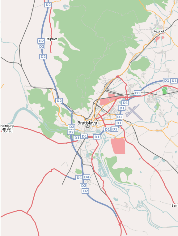
Area rendered by Mapnik, that is covered Yahoo Aerials images (street level).
Licensing
![]()
![]()
![]()
This screenshot contains OpenStreetMap Carto rendering.
The OpenStreetMap Carto map style is made available under the Creative Commons CC-0 1.0 Universal Public Domain Dedication.
- Attribution to the map data:
![]()
Contains map data © OpenStreetMap contributors, made available under the terms of the Creative Commons Attribution-ShareAlike 2.0 (CC-BY-SA-2.0).
File history
Click on a date/time to view the file as it appeared at that time.
| Date/Time | Thumbnail | Dimensions | User | Comment | |
|---|---|---|---|---|---|
| current | 09:19, 20 July 2007 | | 576 × 763 (59 KB) | Zdeno (talk | contribs) | Area rendered by Mapnik, that is covered Yahoo Aerials images (street level). |
You cannot overwrite this file.
File usage
There are no pages that use this file.