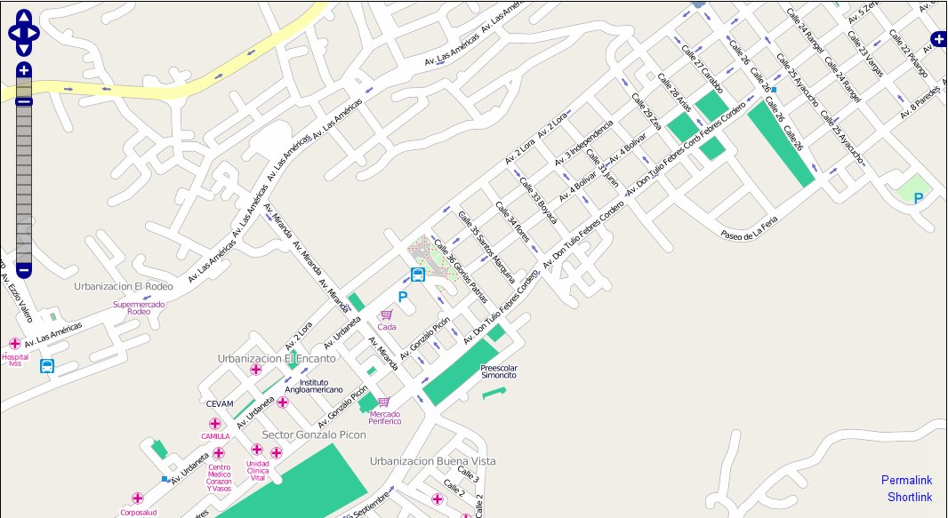
File:MeridaVenezuela.jpg
Jump to navigation
Jump to search

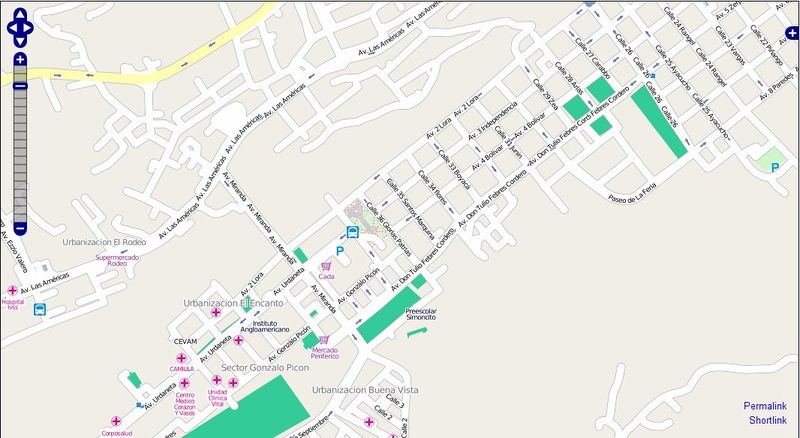
Size of this preview: 800 × 438 pixels. Other resolutions: 320 × 175 pixels | 640 × 350 pixels | 1,066 × 583 pixels.
Original file (1,066 × 583 pixels, file size: 121 KB, MIME type: image/jpeg)
OSM map of Merida (map), Venezuela. Data by Fundacion GeoHorizontes de Venezuela. Data collected by HernanRamirez.
This is the original featured image, but an improved version of the image is File:MeridaVenezuela.png
File history
Click on a date/time to view the file as it appeared at that time.
| Date/Time | Thumbnail | Dimensions | User | Comment | |
|---|---|---|---|---|---|
| current | 11:41, 5 August 2010 | | 1,066 × 583 (121 KB) | Hernanr (talk | contribs) | Ciudad de Merida, Venezuela, Team GPS Merida generando mapas Libres OSM |
You cannot overwrite this file.
File usage
There are no pages that use this file.