File:Mexico map, MX-DIF.svg
Jump to navigation
Jump to search


Size of this PNG preview of this SVG file: 800 × 544 pixels. Other resolutions: 320 × 218 pixels | 640 × 435 pixels | 1,024 × 696 pixels | 1,280 × 870 pixels | 1,000 × 680 pixels.
Original file (SVG file, nominally 1,000 × 680 pixels, file size: 144 KB)
This file and its description are from Wikimedia Commons.
Summary
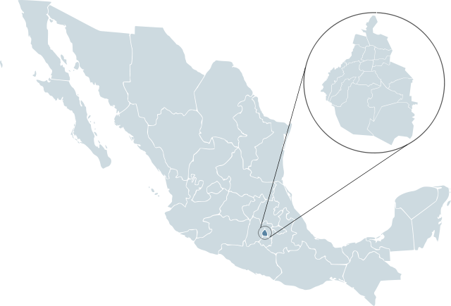
| Description | Locator map for Distrito Federal within Mexico. | ||
| Date | |||
| Source | Mexico template.svg by Lokal_Profil | ||
| Author | Lokal_Profil | ||
| Permission (Reusing this file) |
Original image licensed under
|
||
| SVG development |
File history
Click on a date/time to view the file as it appeared at that time.
| Date/Time | Thumbnail | Dimensions | User | Comment | |
|---|---|---|---|---|---|
| current | 23:47, 13 February 2008 | | 1,000 × 680 (144 KB) | wikimediacommons>El bart089 | {{Information |Description= |Source= |Date= |Author= |Permission= |other_versions= }} |
File usage
The following 2 pages use this file: