File:NM 124 and US 66 WB near Budville NM.jpg
Jump to navigation
Jump to search


Size of this preview: 800 × 531 pixels. Other resolutions: 320 × 213 pixels | 640 × 425 pixels | 1,024 × 680 pixels | 1,280 × 850 pixels | 2,511 × 1,668 pixels.
Original file (2,511 × 1,668 pixels, file size: 1.42 MB, MIME type: image/jpeg)
This file and its description are from Wikimedia Commons.
Summary
| Description |
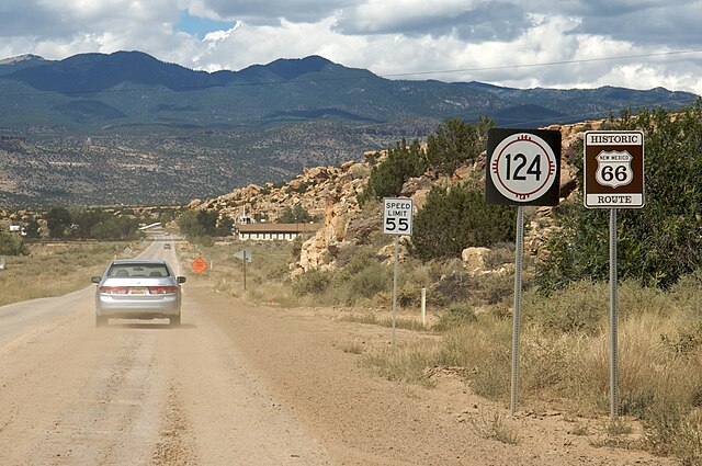
English: Westbound on NM 124 / historic US 66 in Cibola County west of I-40 exit 104. Mount Taylor in background. |
||
| Date | |||
| Source |
|
||
| Author | Marcin Wichary from San Francisco, U.S.A. | ||
| Permission (Reusing this file) |
|
Licensing
This file is licensed under the Creative Commons Attribution 2.0 Generic license.
- You are free:
- to share – to copy, distribute and transmit the work
- to remix – to adapt the work
- Under the following conditions:
- attribution – You must give appropriate credit, provide a link to the license, and indicate if changes were made. You may do so in any reasonable manner, but not in any way that suggests the licensor endorses you or your use.
File history
Click on a date/time to view the file as it appeared at that time.
| Date/Time | Thumbnail | Dimensions | User | Comment | |
|---|---|---|---|---|---|
| current | 05:30, 14 June 2009 | | 2,511 × 1,668 (1.42 MB) | wikimediacommons>File Upload Bot (Magnus Manske) | {{Information |Description= |Source=[http://www.flickr.com/photos/8399025@N07/2855244200/ Dust] * Uploaded by xnatedawgx |Date=2008-09-10 12:57 |Author=[http://www.flickr.com/people/8399025@N07 Marcin Wichary] from San Francisco, U.S |
File usage
There are no pages that use this file.