File:OSMPH Imagery Coverage Map.png
Jump to navigation
Jump to search

Size of this preview: 800 × 491 pixels. Other resolutions: 320 × 196 pixels | 640 × 392 pixels | 910 × 558 pixels.
Original file (910 × 558 pixels, file size: 418 KB, MIME type: image/png)
Information
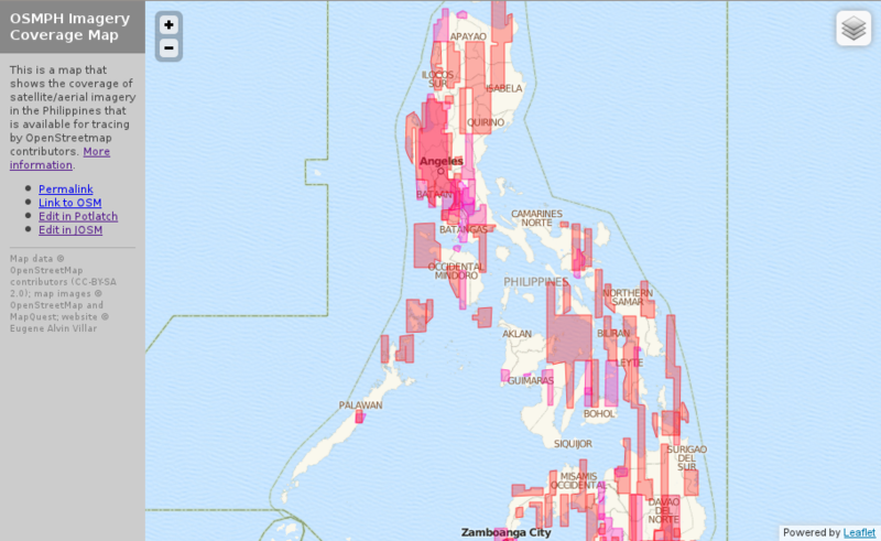
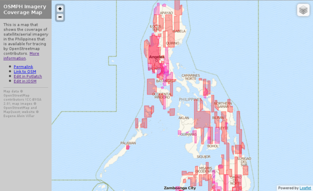
| Description | This is a simple slippy map showing the coverage of imagery in the Philippines available for tracing by OSM contributors. More information. |
|---|---|
| Author | seav |
| Source | [1] |
| Date | 2012-02-25 |
| Permission | CC-BY-SA 2.0 |
File history
Click on a date/time to view the file as it appeared at that time.
| Date/Time | Thumbnail | Dimensions | User | Comment | |
|---|---|---|---|---|---|
| current | 03:18, 25 February 2012 | | 910 × 558 (418 KB) | Seav (talk | contribs) | Remove browser chrome. |
| 03:12, 25 February 2012 | 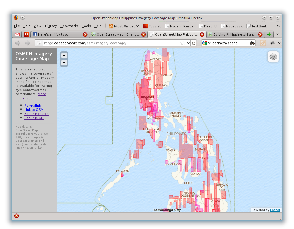 | 994 × 777 (484 KB) | Seav (talk | contribs) | ==Information== {{Information |Description = This is a simple slippy map showing the coverage of imagery in the Philippines available for tracing by OSM contributors. More information. |Sourc |
You cannot overwrite this file.
File usage
The following page uses this file: