File:OpenRoute.png
Jump to navigation
Jump to search


Size of this preview: 800 × 600 pixels. Other resolutions: 320 × 240 pixels | 640 × 480 pixels | 1,024 × 768 pixels.
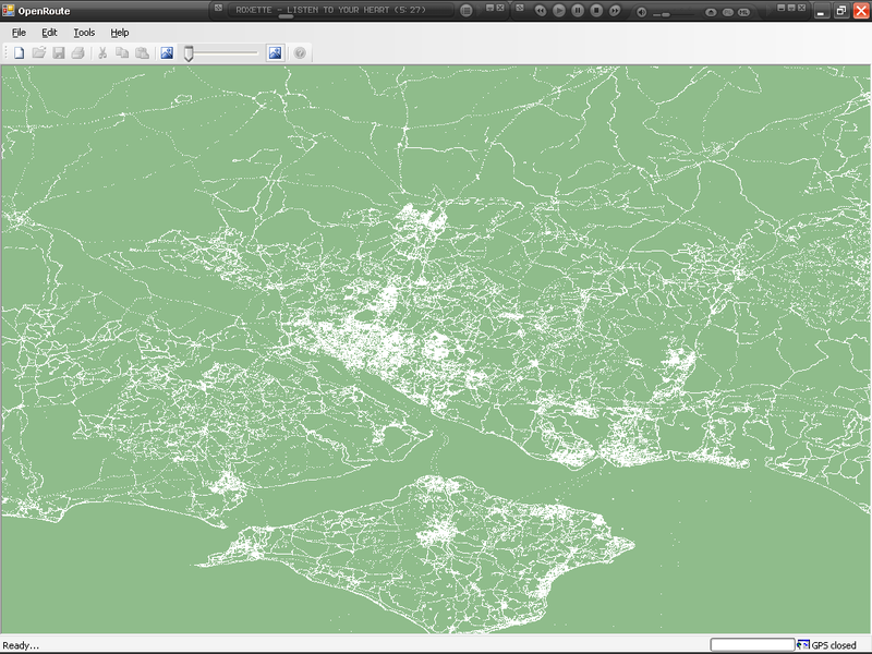
Original file (1,024 × 768 pixels, file size: 86 KB, MIME type: image/png)
Preliminary screen shot of the C# version of OpenRoute rendering data from an SQLite version of planet.osm. This map is of Hampshire and the Isle of Wight, UK.
File history
Click on a date/time to view the file as it appeared at that time.
| Date/Time | Thumbnail | Dimensions | User | Comment | |
|---|---|---|---|---|---|
| current | 01:04, 23 October 2007 | | 1,024 × 768 (86 KB) | Deanna Earley (talk | contribs) | OpenRoute showing nodes in Hampshire and the Isle of White |
| 23:17, 23 May 2006 | 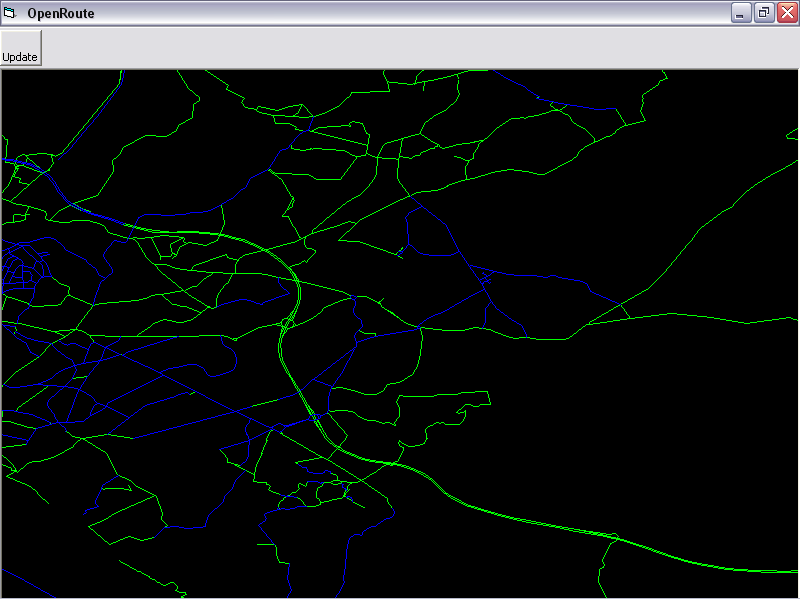 | 800 × 600 (23 KB) | Deanna Earley (talk | contribs) | Shrunk to 800x600 | |
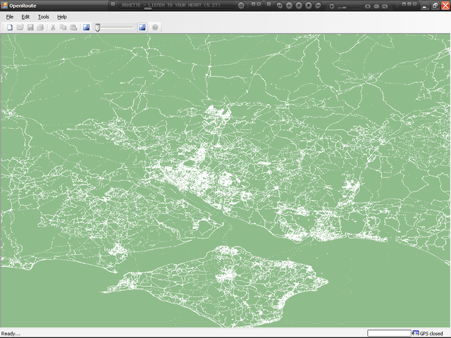
| 23:00, 23 May 2006 | 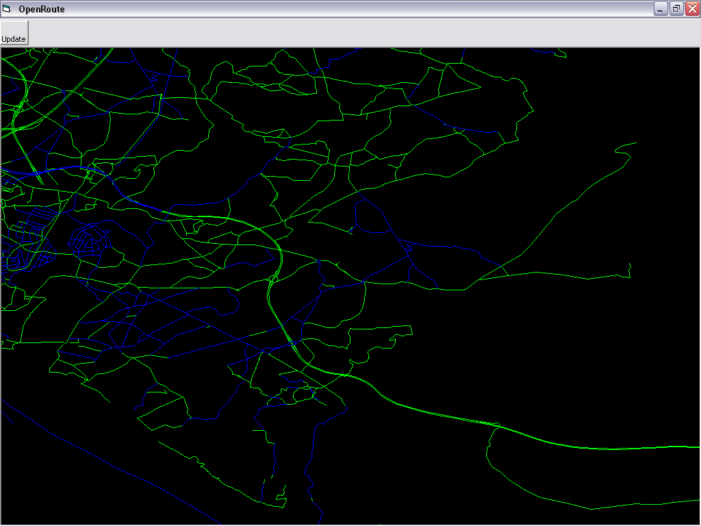 | 1,024 × 768 (35 KB) | Deanna Earley (talk | contribs) | Updated screenshot | |
| 11:07, 22 May 2006 | 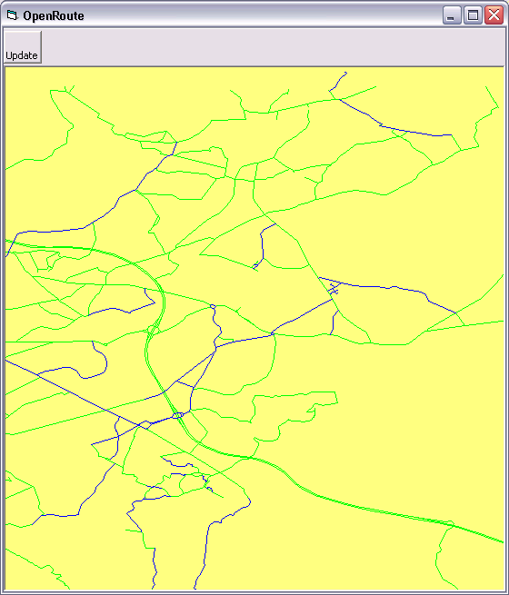 | 560 × 655 (18 KB) | Deanna Earley (talk | contribs) | Preliminary screen shot of OpenRoute rendering data accessed via OSMLib. This map is of the Hedge End, Hampshire, UK area. |
You cannot overwrite this file.
File usage
The following page uses this file: