File:Openinframap-uk-ireland.png
Jump to navigation
Jump to search

Size of this preview: 408 × 599 pixels. Other resolutions: 163 × 240 pixels | 327 × 480 pixels | 523 × 768 pixels | 697 × 1,024 pixels | 1,884 × 2,766 pixels.
Original file (1,884 × 2,766 pixels, file size: 1.57 MB, MIME type: image/png)
Summary
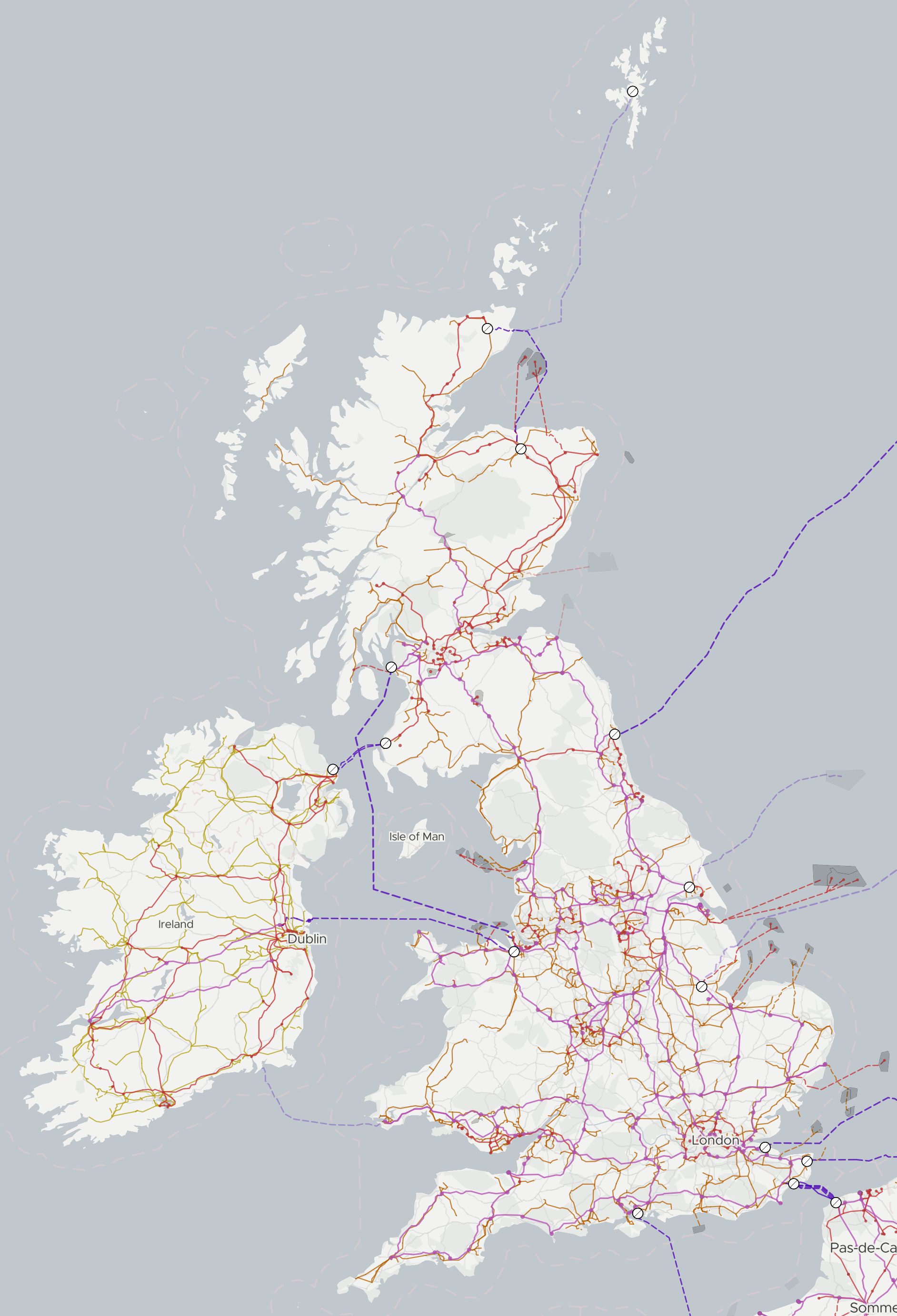
The UK and Ireland on OpenInfraMap
Licensing
| Contains map data © OpenStreetMap contributors, made available under the terms of the Open Database License (ODbL).
The ODbL does not require any particular license for maps produced from ODbL data, produced maps may be subject also to other licences. |
File history
Click on a date/time to view the file as it appeared at that time.
| Date/Time | Thumbnail | Dimensions | User | Comment | |
|---|---|---|---|---|---|
| current | 13:36, 2 October 2022 | | 1,884 × 2,766 (1.57 MB) | Russss (talk | contribs) | Updated screenshot |
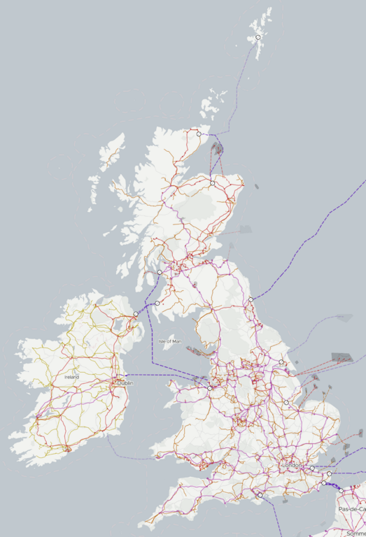
| 13:34, 17 January 2021 | 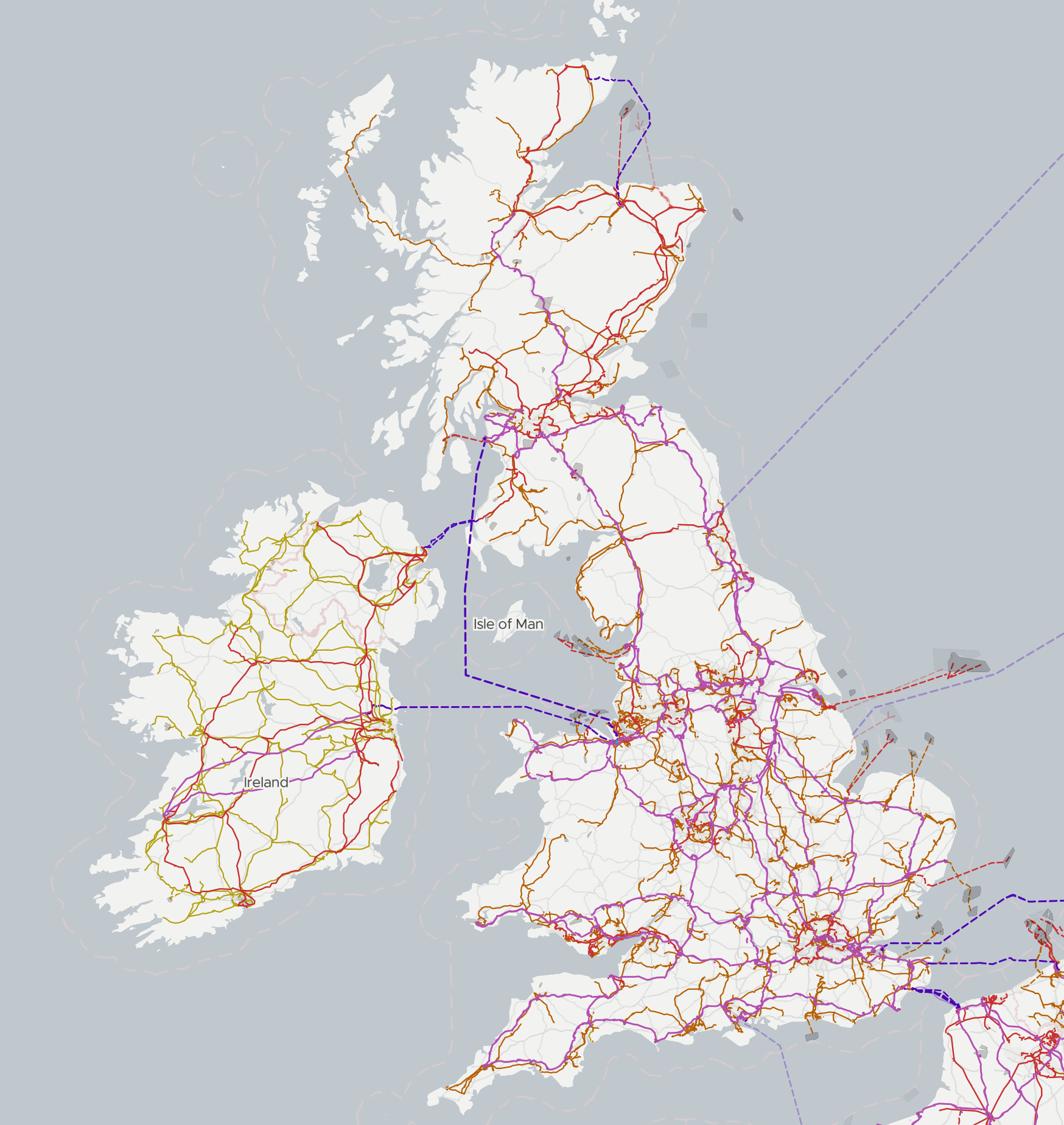 | 1,748 × 1,848 (1.18 MB) | Russss (talk | contribs) | Update screenshot | |
| 09:03, 19 February 2019 | 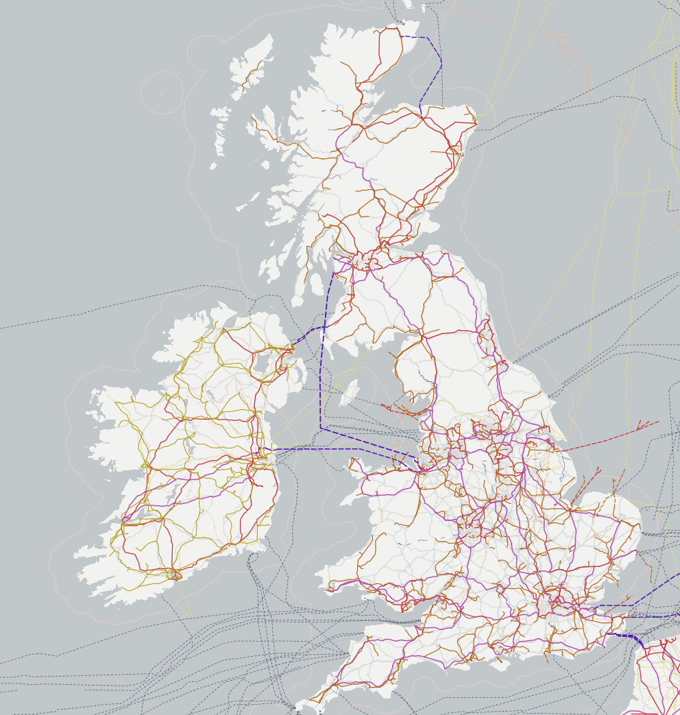 | 992 × 1,043 (687 KB) | Russss (talk | contribs) | The UK and Ireland on OpenInfraMap |
You cannot overwrite this file.
File usage
The following page uses this file: