File:Ortigas-Mandaluyong Mapping Party Slices.PNG
Jump to navigation
Jump to search

No higher resolution available.
Ortigas-Mandaluyong_Mapping_Party_Slices.PNG (667 × 589 pixels, file size: 127 KB, MIME type: image/png)
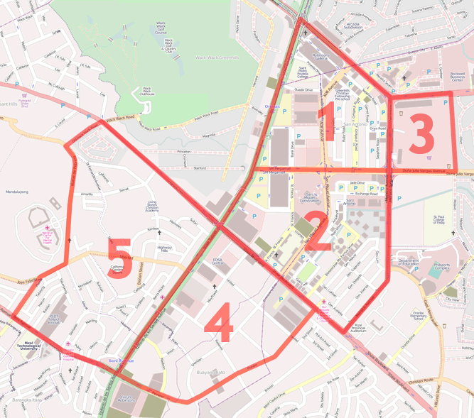
| Description | Cake diagram for Ortigas-Mandaluyong Mapping party |
|---|---|
| Author | ianlopez1115 |
| Source | OpenStreetMap (Mapnik layer) (permalink) |
| Date | 2010-05-18 |
| Permission | CC-BY-SA 2.0 |
![]()
Contains map data © OpenStreetMap contributors, made available under the terms of the Creative Commons Attribution-ShareAlike 2.0 (CC-BY-SA-2.0).
File history
Click on a date/time to view the file as it appeared at that time.
| Date/Time | Thumbnail | Dimensions | User | Comment | |
|---|---|---|---|---|---|
| current | 17:06, 18 May 2010 | | 667 × 589 (127 KB) | Seav (talk | contribs) | Add western border of slice 5 |
| 05:21, 18 May 2010 | 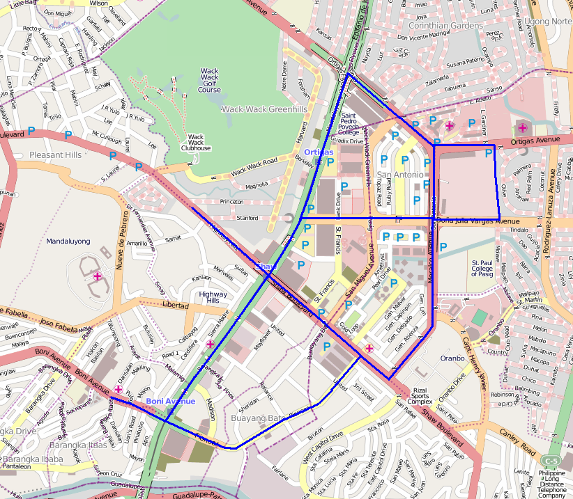 | 822 × 717 (304 KB) | Ianlopez1115 (talk | contribs) | Cake diagram for Ortigas-Mandaluyong Mapping party (Note: western limit for Highway Hills slice not shown, to be added before Saturday) |
You cannot overwrite this file.
File usage
The following page uses this file: