File:Pachuca.png
Jump to navigation
Jump to search

Size of this preview: 680 × 600 pixels. Other resolutions: 272 × 240 pixels | 544 × 480 pixels | 871 × 768 pixels | 1,161 × 1,024 pixels | 2,132 × 1,880 pixels.
Original file (2,132 × 1,880 pixels, file size: 2.66 MB, MIME type: image/png)
Summary
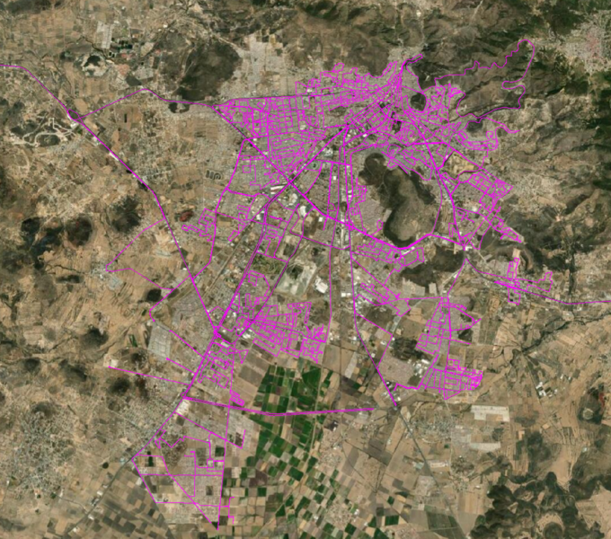
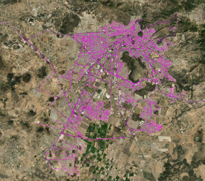
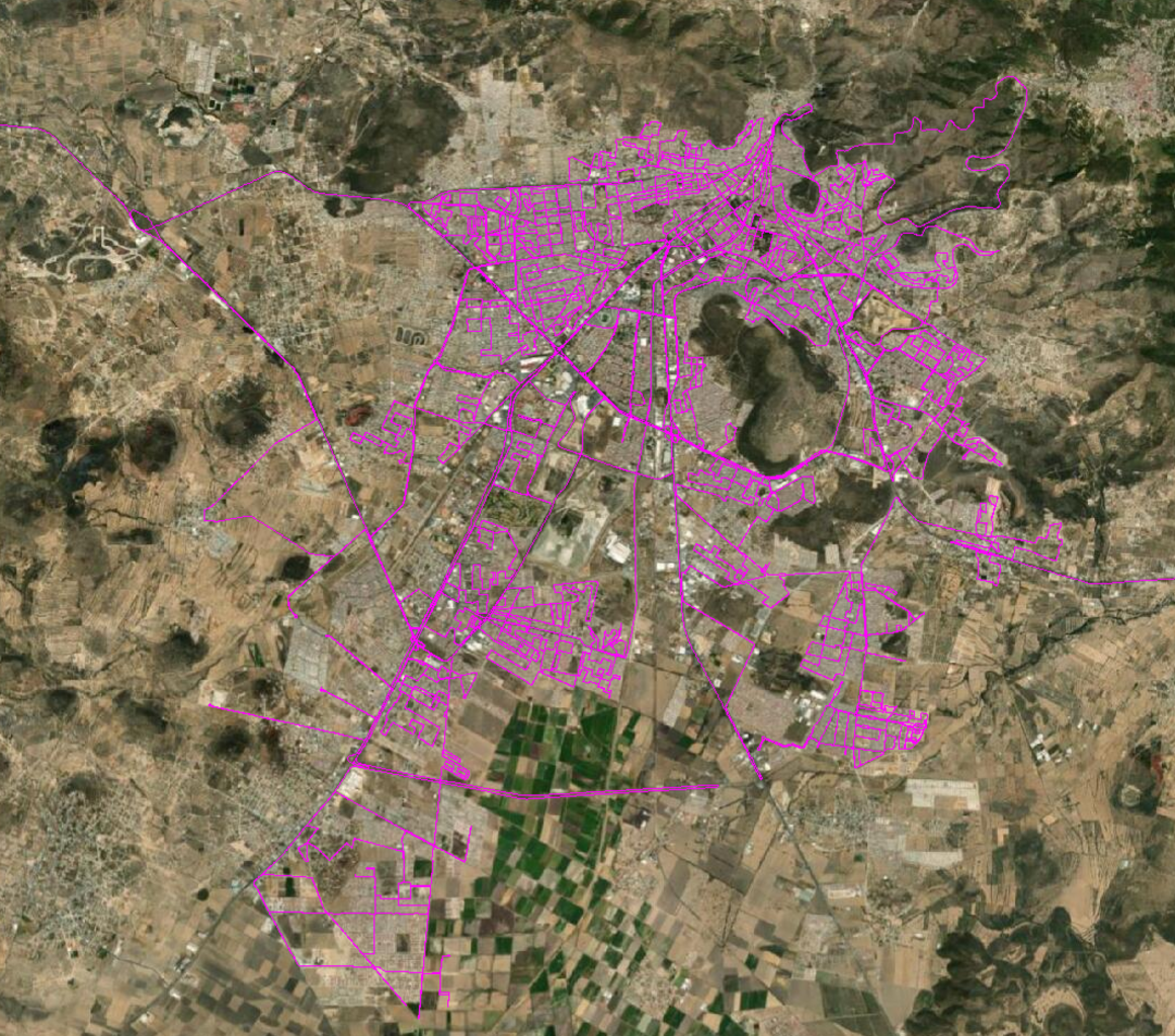
Tracks driven during the Kaart ground survey October 2020
File history
Click on a date/time to view the file as it appeared at that time.
| Date/Time | Thumbnail | Dimensions | User | Comment | |
|---|---|---|---|---|---|
| current | 14:39, 19 October 2020 | | 2,132 × 1,880 (2.66 MB) | GhostEye (talk | contribs) | Tracks driven during the Kaart ground survey October 2020 |
You cannot overwrite this file.
File usage
The following 2 pages use this file: