File:Panneau indicateur à Saint-Michel-les-Portes.jpg
Jump to navigation
Jump to search

Size of this preview: 788 × 599 pixels. Other resolutions: 316 × 240 pixels | 631 × 480 pixels | 1,010 × 768 pixels | 1,280 × 974 pixels | 2,414 × 1,836 pixels.
Original file (2,414 × 1,836 pixels, file size: 847 KB, MIME type: image/jpeg)
Summary
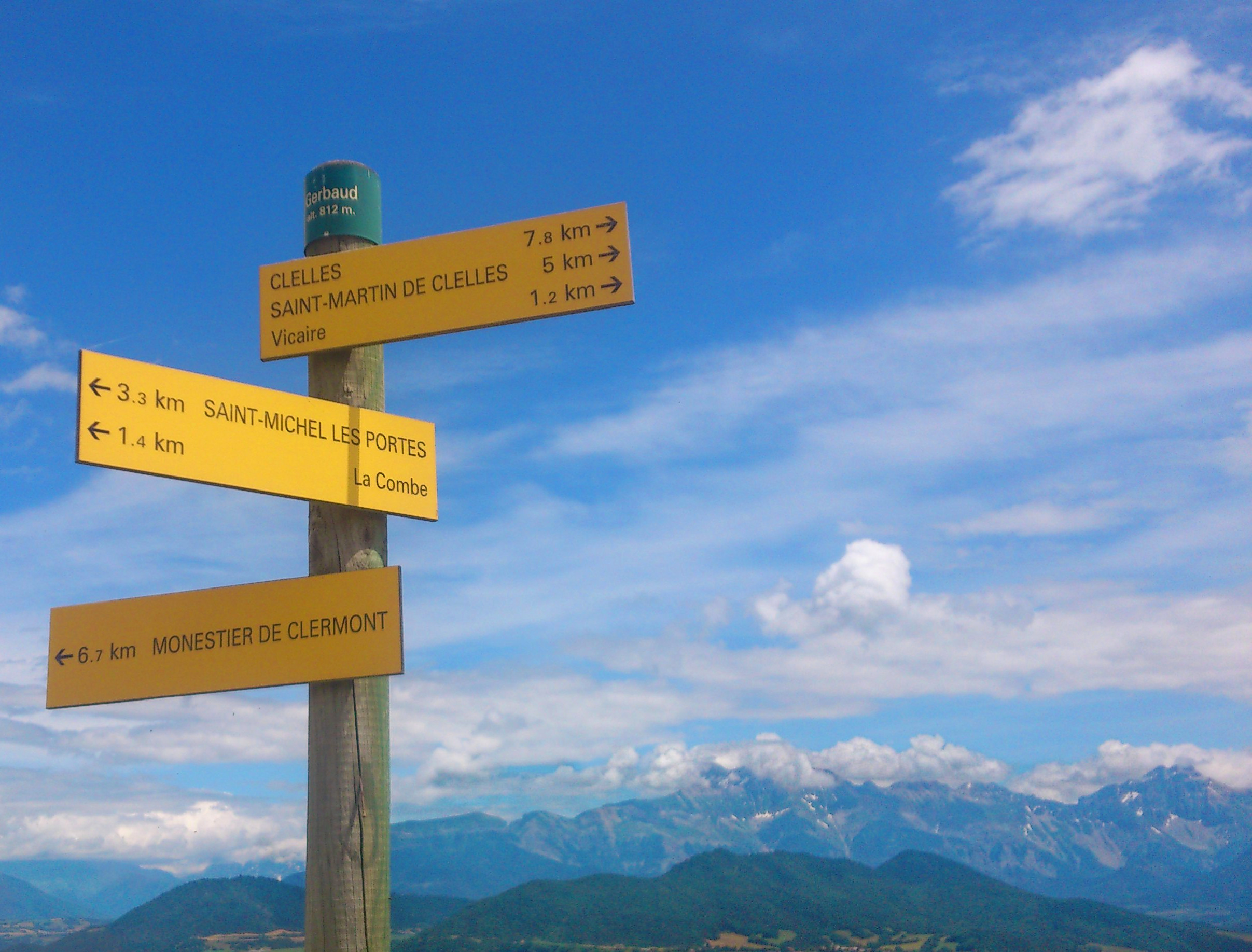
Panneau indicateur près de l'ancienne gare de Saint-Michel-les-Portes. En arrière plan le massif du Dévoluy.
Licensing
![]()
![]()
This work is licensed under the Creative Commons Attribution 4.0 License.
Attribution: Jérôme Villafruela
Attribution: Jérôme Villafruela
File history
Click on a date/time to view the file as it appeared at that time.
| Date/Time | Thumbnail | Dimensions | User | Comment | |
|---|---|---|---|---|---|
| current | 17:56, 16 December 2019 | | 2,414 × 1,836 (847 KB) | Colargol (talk | contribs) | Panneau indicateur près de l'ancienne carte de Saint-Michel-les-Portes. En arrière plan le massif du Dévoluy. |
You cannot overwrite this file.
File usage
The following page uses this file: