File:Ph coastline error.png
Jump to navigation
Jump to search

Size of this preview: 393 × 600 pixels. Other resolutions: 157 × 240 pixels | 529 × 807 pixels.
Original file (529 × 807 pixels, file size: 90 KB, MIME type: image/png)
Information
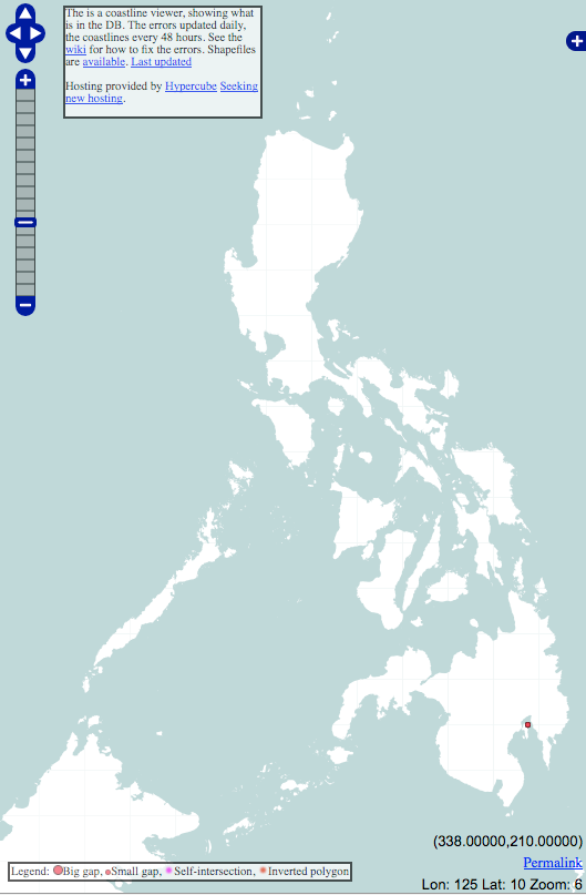
| Description | Screenshot of the coastline error checker centered on the Philippines. |
|---|---|
| Author | © OpenStreetMap contributors |
| Source | author |
| Date | 2010-05-25 |
Licensing
![]()
Contains map data © OpenStreetMap contributors, made available under the terms of the Creative Commons Attribution-ShareAlike 2.0 (CC-BY-SA-2.0).
File history
Click on a date/time to view the file as it appeared at that time.
| Date/Time | Thumbnail | Dimensions | User | Comment | |
|---|---|---|---|---|---|
| current | 09:22, 25 May 2010 | | 529 × 807 (90 KB) | Maning (talk | contribs) |
You cannot overwrite this file.
File usage
There are no pages that use this file.