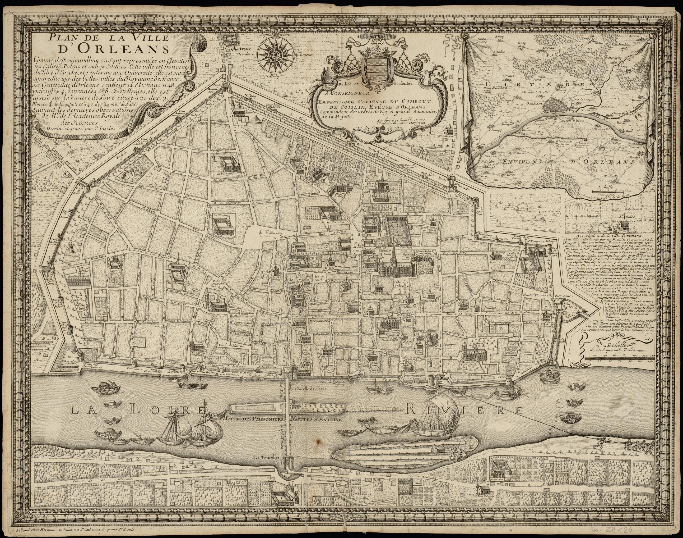
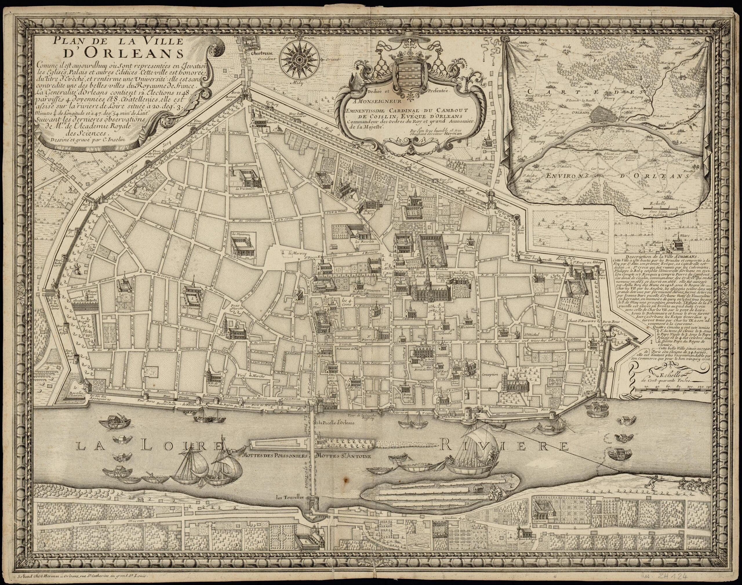
File:Plan de la ville d'Orléans 1673.jpg
Jump to navigation
Jump to search

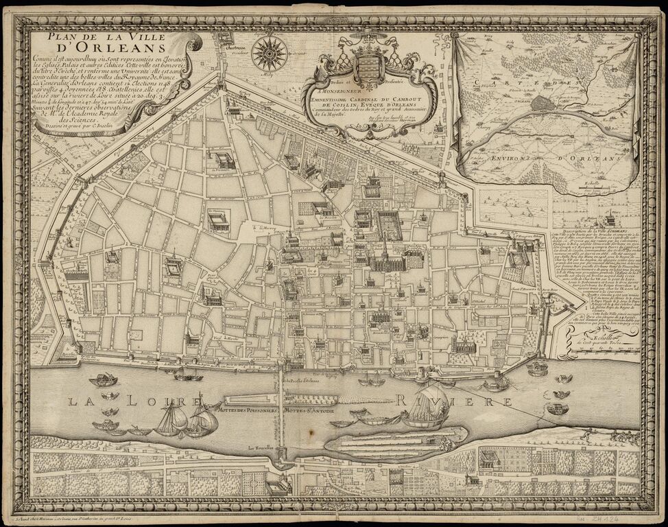
Size of this preview: 760 × 599 pixels. Other resolutions: 305 × 240 pixels | 609 × 480 pixels | 974 × 768 pixels | 1,280 × 1,009 pixels | 2,560 × 2,018 pixels | 2,879 × 2,270 pixels.
Original file (2,879 × 2,270 pixels, file size: 1.91 MB, MIME type: image/jpeg)
Summary
| Description | Plan de la ville d'Orléans 1673 |
|---|---|
| Author | C.Inselin |
| Source | https://mediatheques.orleans-metropole.fr/ark:/77916/ORL377903/v0001.simple.selectedTab=record |
| Date | 1673 |
Licensing
![]()
![]()
![]()
This work is licensed under the Creative Commons Attribution-ShareAlike 4.0 License.
Attribution: C.Inselin
Attribution: C.Inselin
File history
Click on a date/time to view the file as it appeared at that time.
| Date/Time | Thumbnail | Dimensions | User | Comment | |
|---|---|---|---|---|---|
| current | 16:46, 24 May 2023 | | 2,879 × 2,270 (1.91 MB) | Eric Bie (talk | contribs) | {{Information | description=Plan de la ville d'Orléans 1673 | source=https://mediatheques.orleans-metropole.fr/ark:/77916/ORL377903/v0001.simple.selectedTab=record | date=1673 | author=C.Inselin | other_versions= }} |
You cannot overwrite this file.
File usage
The following page uses this file: