File:Secondary somalia mapillary.jpg
Jump to navigation
Jump to search

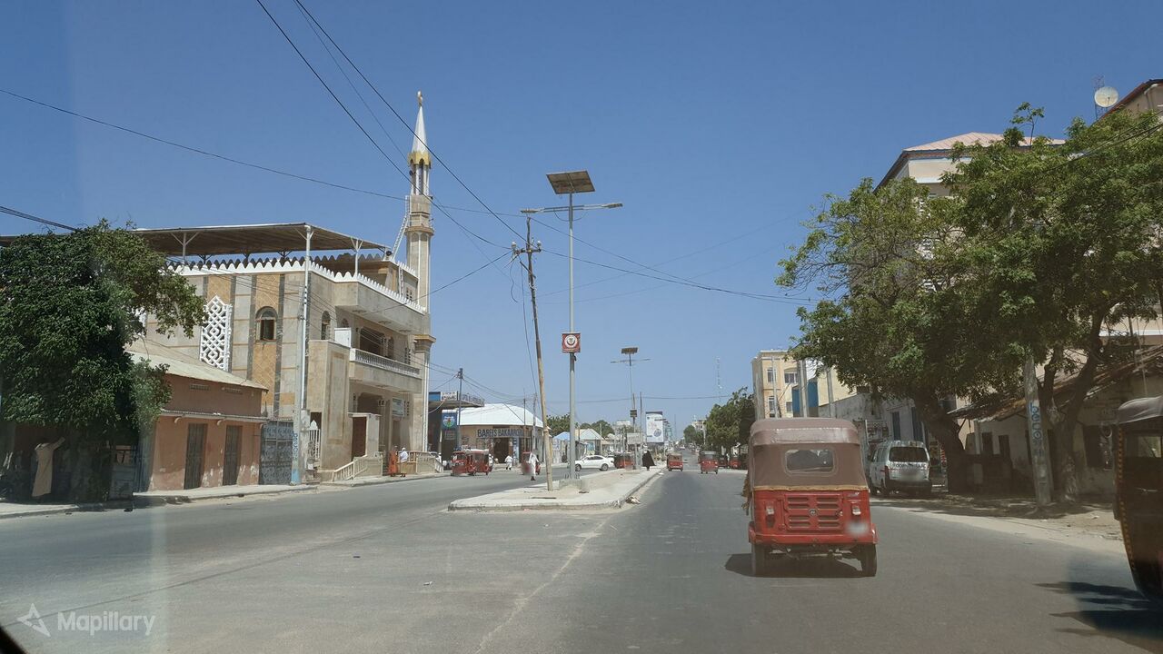
Size of this preview: 800 × 450 pixels. Other resolutions: 320 × 180 pixels | 640 × 360 pixels | 1,024 × 576 pixels | 1,280 × 720 pixels | 2,048 × 1,152 pixels.
Original file (2,048 × 1,152 pixels, file size: 279 KB, MIME type: image/jpeg)
Summary
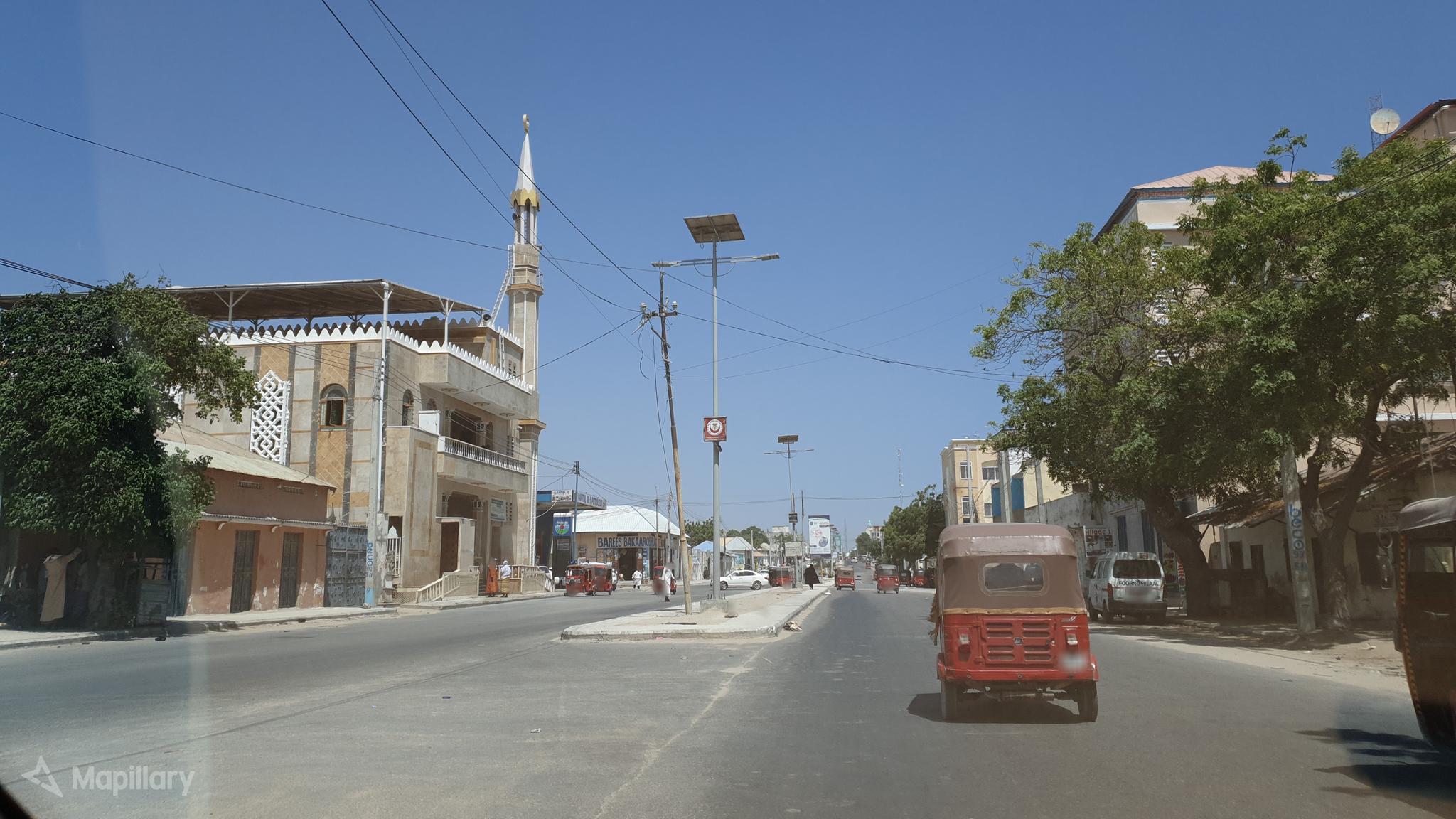
| Description | View of a secondary road in Somalia. Must be tag with "highway=secondary". |
|---|---|
| Author | shakasom on Mapillary |
| Source | Mapillary |
| Date | Feb 7, 2020 |
Licensing
![]()
This file comes from Mapillary, a service for sharing geotagged photos. All photos are under a CC BY-SA 4.0 license meaning the individual photographer must be credited for each image.
This template does not indicate the copyright status of the attached work. A normal copyright template is still required, typically it will be {{CC-BY-SA-4.0|HERE PUT NAME OF IMAGE AUTHOR}}.
This template does not indicate the copyright status of the attached work. A normal copyright template is still required, typically it will be {{CC-BY-SA-4.0|HERE PUT NAME OF IMAGE AUTHOR}}.
![]()
![]()
![]()
This work is licensed under the Creative Commons Attribution-ShareAlike 4.0 License.
Attribution: shakasom on Mapillary
Attribution: shakasom on Mapillary
File history
Click on a date/time to view the file as it appeared at that time.
| Date/Time | Thumbnail | Dimensions | User | Comment | |
|---|---|---|---|---|---|
| current | 10:07, 8 April 2020 | | 2,048 × 1,152 (279 KB) | Michael Montani (talk | contribs) | highway=secondary in Somalia. Mapillary photo by shakasom https://www.mapillary.com/app/?lat=2.0581162688622756&lng=45.32875005868264&z=17&pKey=C_wjqd7ruEpeO1Oqf654Ow&focus=photo |
You cannot overwrite this file.
File usage
The following page uses this file: