File:Slippy map MediaWiki extension-big.PNG
Jump to navigation
Jump to search

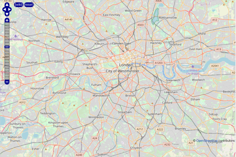
Size of this preview: 800 × 533 pixels. Other resolutions: 320 × 213 pixels | 640 × 426 pixels | 1,129 × 752 pixels.
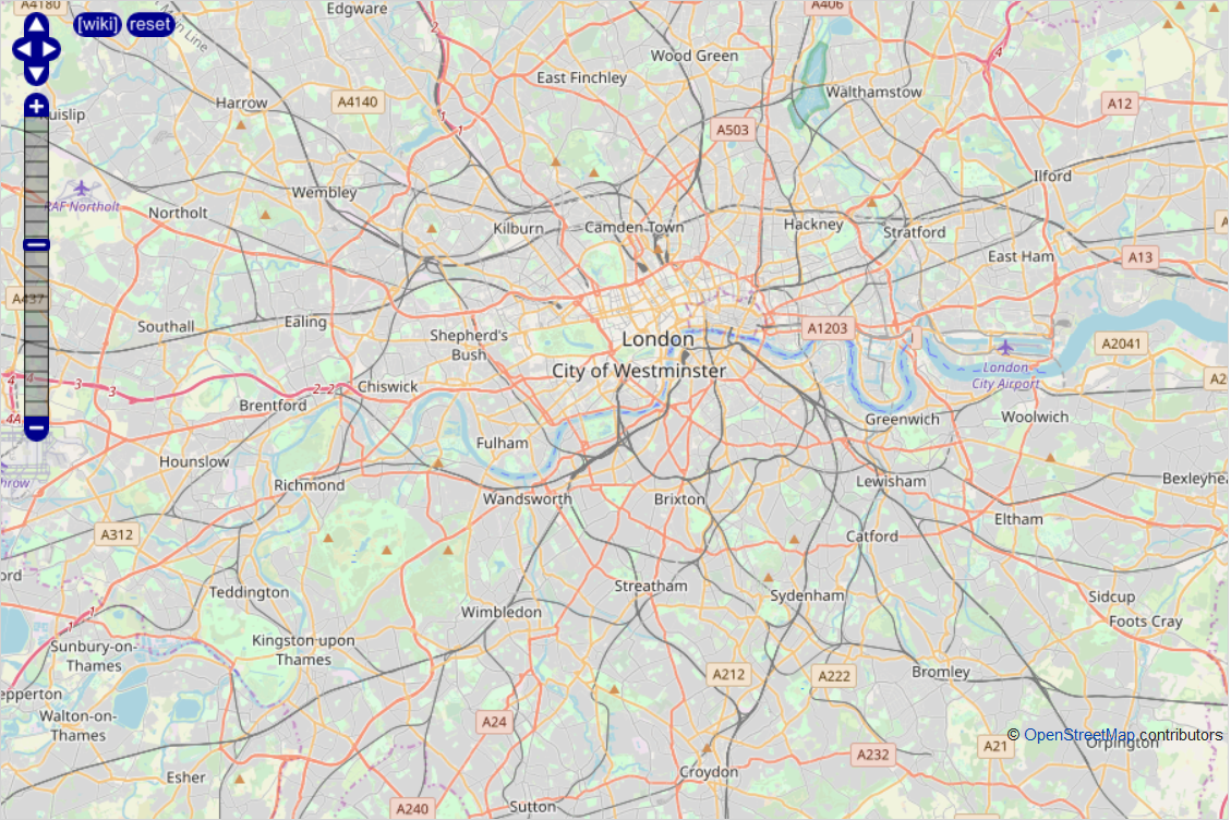
Original file (1,129 × 752 pixels, file size: 1.6 MB, MIME type: image/png)
Summary
Slippy Map MediaWiki Extension displays a map of London using OpenLayers. Template parameters are <slippymap lat="51.485" lon="-0.15" z="11" w="900" h="600" format="jpeg" layer="mapnik"/>.
Licensing
| Contains map data © OpenStreetMap contributors, made available under the terms of the Open Database License (ODbL).
The ODbL does not require any particular license for maps produced from ODbL data, produced maps may be subject also to other licences. |
File history
Click on a date/time to view the file as it appeared at that time.
| Date/Time | Thumbnail | Dimensions | User | Comment | |
|---|---|---|---|---|---|
| current | 11:05, 19 January 2020 | | 1,129 × 752 (1.6 MB) | Tigerfell (talk | contribs) | Slippy Map MediaWiki Extension displays a map of London using OpenLayers. Template parameters are <code><nowiki><slippymap lat="51.485" lon="-0.15" z="11" w="900" h="600" format="jpeg" layer="mapnik"/></nowiki></code>. Category:MediaWiki extensions Category:OpenLayers Examples |
You cannot overwrite this file.
File usage
The following page uses this file: