File:SouthBrumMappingSouth001.png
Jump to navigation
Jump to search

No higher resolution available.
SouthBrumMappingSouth001.png (800 × 566 pixels, file size: 152 KB, MIME type: image/png)
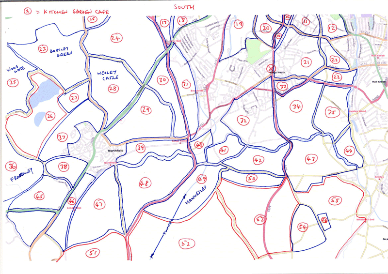
South and Southwest Birmingham. Numbered areas to be mapped as at April 08. This image covers the southern portion.
File history
Click on a date/time to view the file as it appeared at that time.
| Date/Time | Thumbnail | Dimensions | User | Comment | |
|---|---|---|---|---|---|
| current | 22:11, 1 April 2008 | | 800 × 566 (152 KB) | Blackadder (talk | contribs) | South and Southwest Birmingham. Numbered areas to be mapped as at April 08. This image covers the southern portion. |
You cannot overwrite this file.
File usage
The following page uses this file: