File:USGS Lookout-Viewpoint.png
Jump to navigation
Jump to search


Size of this preview: 800 × 497 pixels. Other resolutions: 320 × 199 pixels | 640 × 398 pixels | 840 × 522 pixels.
Original file (840 × 522 pixels, file size: 92 KB, MIME type: image/png)
Summary
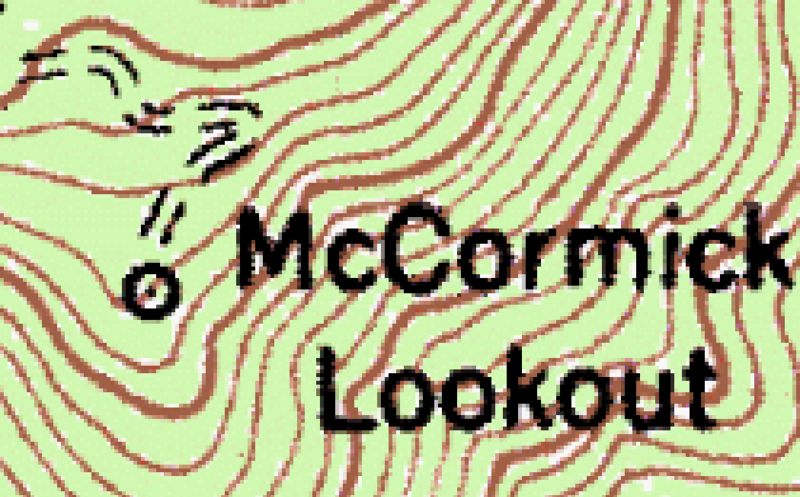
USGS topo features
File history
Click on a date/time to view the file as it appeared at that time.
| Date/Time | Thumbnail | Dimensions | User | Comment | |
|---|---|---|---|---|---|
| current | 21:05, 20 July 2020 | | 840 × 522 (92 KB) | Pwhite119 (talk | contribs) | USGS topo features |
You cannot overwrite this file.
File usage
The following page uses this file: