File:Veneto Import Day map.png
Jump to navigation
Jump to search


No higher resolution available.
Veneto_Import_Day_map.png (486 × 400 pixels, file size: 85 KB, MIME type: image/png)
File history
Click on a date/time to view the file as it appeared at that time.
| Date/Time | Thumbnail | Dimensions | User | Comment | |
|---|---|---|---|---|---|
| current | 19:58, 29 March 2012 | | 486 × 400 (85 KB) | Groppo (talk | contribs) | Update (the previous one was incorrect) |
| 19:37, 29 March 2012 | 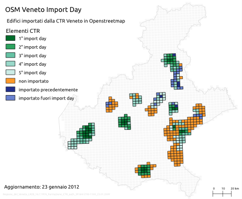 | 486 × 400 (85 KB) | Groppo (talk | contribs) | Update | |
| 20:24, 23 January 2012 | 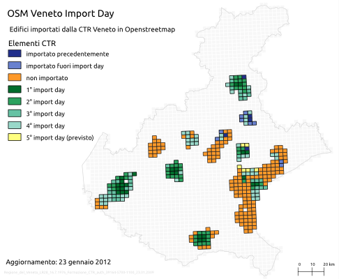 | 486 × 400 (85 KB) | Groppo (talk | contribs) | Update | |
| 16:34, 15 January 2012 |  | 486 × 400 (83 KB) | Groppo (talk | contribs) | Update | |
| 11:45, 14 January 2012 |  | 486 × 400 (83 KB) | Groppo (talk | contribs) | Update. Fonti: shape inquadramento elementi, Regione Veneto shape regione, ISTAT Sftware: Quantum GIS | |
| 15:54, 5 January 2012 | 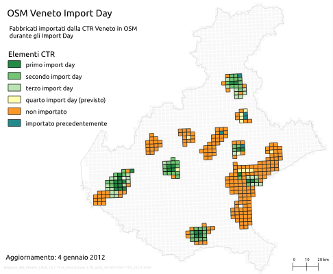 | 486 × 400 (84 KB) | Groppo (talk | contribs) | ||
| 14:37, 5 January 2012 | 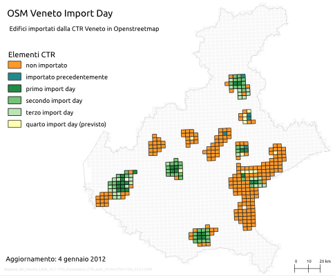 | 485 × 400 (82 KB) | Groppo (talk | contribs) |
You cannot overwrite this file.
File usage
The following page uses this file: