File:Zabzugu useless roads worst of osm in Ghana.png
Jump to navigation
Jump to search

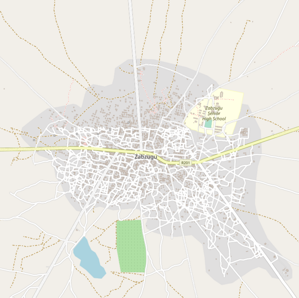
Size of this preview: 602 × 600 pixels. Other resolutions: 241 × 240 pixels | 482 × 480 pixels | 804 × 801 pixels.
Original file (804 × 801 pixels, file size: 351 KB, MIME type: image/png)
Summary
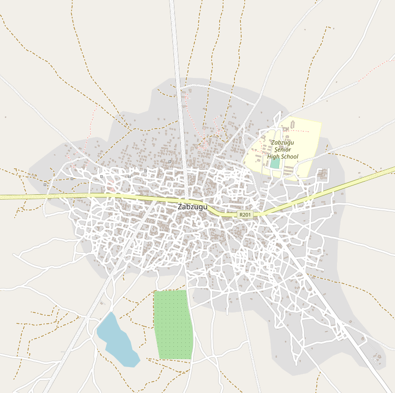
| Description | Example of useless roads resulting from use of old imagery in tracing roads in Ghana as result of organised mapping. |
|---|---|
| Author | OpenStreetMap contributors |
| Source | https://www.openstreetmap.org/#map=15/9.2935/0.3720 |
| Date | 2023-05-11 |
Licensing
![]()
![]()
This screenshot contains OpenStreetMap Carto rendering.
The OpenStreetMap Carto map style is made available under the Creative Commons CC-0 1.0 Universal Public Domain Dedication.
- Attribution to the map data:
| Contains map data © OpenStreetMap contributors, made available under the terms of the Open Database License (ODbL).
The ODbL does not require any particular license for maps produced from ODbL data, produced maps may be subject also to other licences. |
File history
Click on a date/time to view the file as it appeared at that time.
| Date/Time | Thumbnail | Dimensions | User | Comment | |
|---|---|---|---|---|---|
| current | 11:32, 11 May 2023 | | 804 × 801 (351 KB) | Enock4seth (talk | contribs) | {{Information | description= Example of useless roads resulting from use of old imagery in tracing roads in Ghana as result of organised mapping. | source= https://www.openstreetmap.org/#map=15/9.2935/0.3720 | date= 2023-05-11 | author= Enock Seth Nyamador | other_versions= }} |
You cannot overwrite this file.
File usage
There are no pages that use this file.