File:Zaragoza-August2007.png
Jump to navigation
Jump to search

Size of this preview: 636 × 599 pixels. Other resolutions: 255 × 240 pixels | 510 × 480 pixels | 847 × 798 pixels.
Original file (847 × 798 pixels, file size: 168 KB, MIME type: image/png)
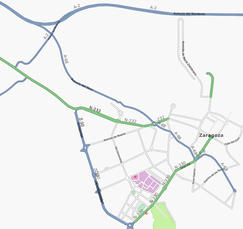
Early mapping of Zaragoza, in Spain, as seen in August 2007. There are many mapping errors and a lot of main streets left.
Map of Zaragoza
This map and others like it, were created by OpenStreetmap contributors, and are licensed as Creative Commons CC-BY-SA 2.0 (https://creativecommons.org/licenses/by-sa/2.0/) (see OpenStreetMap licence).
Use {{mapof|PlaceName}} to add this template to your images.
This map and others like it, were created by OpenStreetmap contributors, and are licensed as Creative Commons CC-BY-SA 2.0 (https://creativecommons.org/licenses/by-sa/2.0/) (see OpenStreetMap licence).
Use {{mapof|PlaceName}} to add this template to your images.
File history
Click on a date/time to view the file as it appeared at that time.
| Date/Time | Thumbnail | Dimensions | User | Comment | |
|---|---|---|---|---|---|
| current | 18:18, 11 September 2007 | | 847 × 798 (168 KB) | Jynus (talk | contribs) | Early mapping of Zaragoza, in Spain, as seen in August 2007. There are many mapping errors and a lot of main streets left. |
You cannot overwrite this file.
File usage
The following 4 pages use this file: