360 view
Jump to navigation
Jump to search
This page exposes how to extend OSM features to 360 immersive visits.
Viewpoint tags
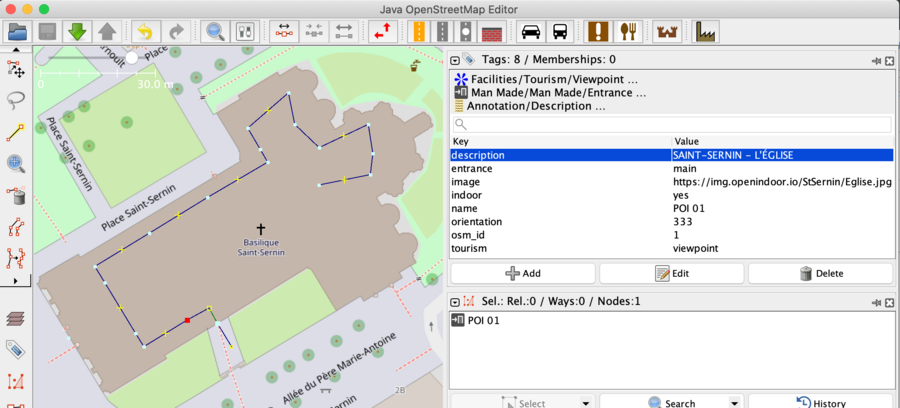
Here are relevant tags:
- tourism=viewpoint
- more than just an image, it's a place where we can have a large view of the area
- image=https://img.openindoor.io/art_gallery/Art_Museum_Gallery_Interior_01.jpg
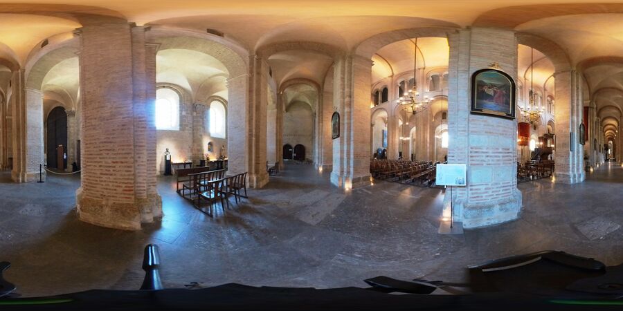
- equirectangular image for 360 rendering
- orientation=230
- angle with north direction
To make the link between 360 images, we create a common way.
For walker oriented views, we tag highway=footway
Example
For each 360 viewpoint, we took a 360 picture.
https://img.openindoor.io/StSernin/Eglise.jpg
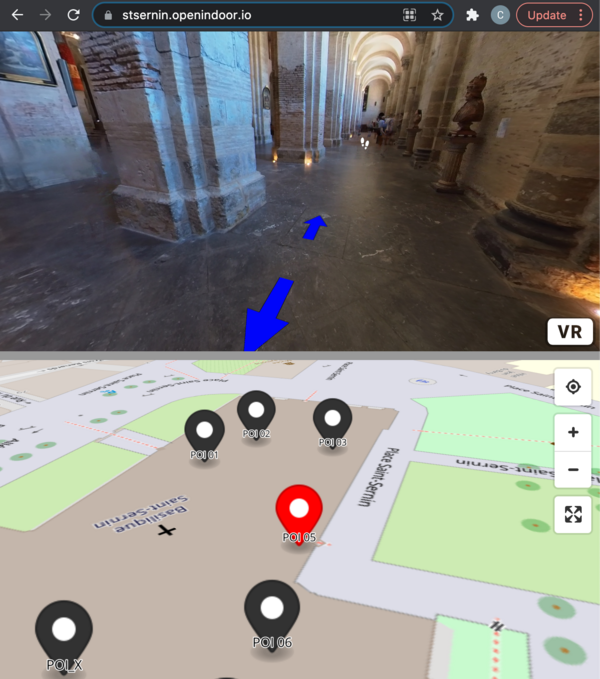
Taking benefit of maplibre and A-FRAME, we got these result: St Sernin indoor navigation
Data source is here: https://stsernin.openindoor.io/data/StSernin_indoor.geojson
{
    "type": "FeatureCollection",
    "generator": "JOSM",
    "features": [
        {
            "type": "Feature",
            "properties": {
                "description": "SAINT ROCHE, PATRON DES PÉLERINS",
                "image": "https://img.openindoor.io/StSernin/StRoch.jpg",
                "indoor": "yes",
                "name": "POI 05",
                "orientation": "267",
                "osm_id": "5",
                "tourism": "viewpoint"
            },
            "geometry": {
                "type": "Point",
                "coordinates": [
                    1.44179770000,
                    43.60845570000
                ]
            }
        },
        (...)
    ]
}


