File:1579 thailand history.gif
Jump to navigation
Jump to search
Size of this preview: 326 × 599 pixels. Other resolutions: 130 × 240 pixels | 576 × 1,058 pixels.
Original file (576 × 1,058 pixels, file size: 611 KB, MIME type: image/gif, 147 frames, 1 min 14 s)
Note: Due to technical limitations, thumbnails of high resolution GIF images such as this one will not be animated.
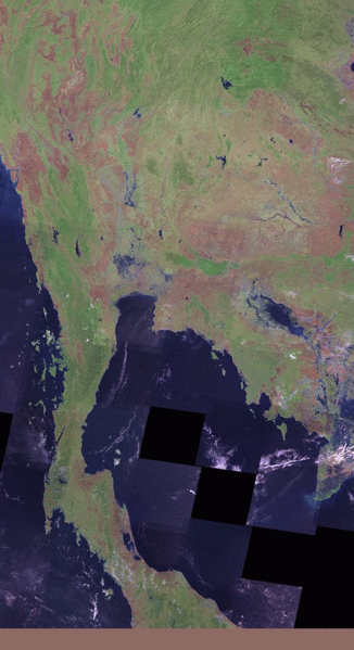
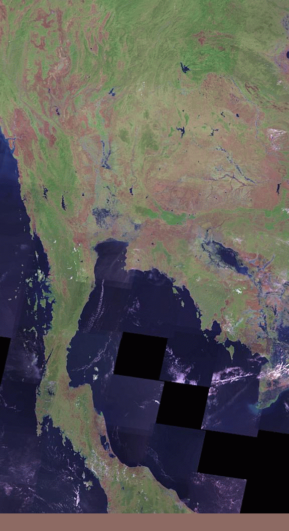
OSM historic development of Thailand generated by geofabrik tool:
Licensing
Geofabrik OSM History tool was released in Public domain by Frederik Ramm.
![]()
Contains map data © OpenStreetMap contributors, made available under the terms of the Creative Commons Attribution-ShareAlike 2.0 (CC-BY-SA-2.0).
File history
Click on a date/time to view the file as it appeared at that time.
| Date/Time | Thumbnail | Dimensions | User | Comment | |
|---|---|---|---|---|---|
| current | 15:21, 13 May 2010 | | 576 × 1,058 (611 KB) | Stephankn (talk | contribs) | updated history to a rendering based on may 2010 using these parameters: http://labs.geofabrik.de/history/?label=Thailand%20history&user=Stephankn&minlat=5.5&minlon=97.2&maxlat=20.6&maxlon=105.7&projection=1&bgimage=2&width=576&pixel=0&color=0&fromdate=70 |
| 22:10, 10 November 2008 |  | 576 × 1,059 (443 KB) | Stephankn (talk | contribs) | OSM historic development of Thailand generated by geofabrik tool |
You cannot overwrite this file.
File usage
The following page uses this file: