File:Area-wg-crick-kilburn.png
Jump to navigation
Jump to search

No higher resolution available.
Area-wg-crick-kilburn.png (580 × 365 pixels, file size: 136 KB, MIME type: image/png)
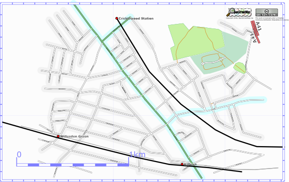
Arbitary area around Cricklewood, Willesden Green and Kilburn Stations. Current map.
![]()
Contains map data © OpenStreetMap contributors, made available under the terms of the Creative Commons Attribution-ShareAlike 2.0 (CC-BY-SA-2.0).
File history
Click on a date/time to view the file as it appeared at that time.
| Date/Time | Thumbnail | Dimensions | User | Comment | |
|---|---|---|---|---|---|
| current | 22:37, 2 January 2007 | | 580 × 365 (136 KB) | AcousticNewt (talk | contribs) | |
| 21:51, 11 December 2006 | 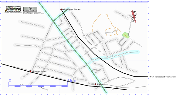 | 580 × 312 (100 KB) | AcousticNewt (talk | contribs) | Maybe about 85% done. | |
| 23:03, 2 December 2006 | 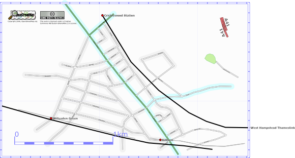 | 580 × 312 (82 KB) | AcousticNewt (talk | contribs) | As at 2 Dec 2006 | |
| 20:10, 26 November 2006 | 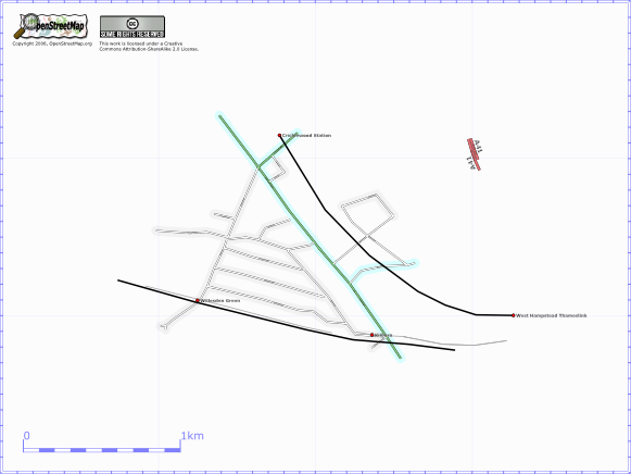 | 581 × 436 (51 KB) | AcousticNewt (talk | contribs) | Arbitary area around Cricklewood, Willesden Green and Kilburn Stations. Current map. |
You cannot overwrite this file.
File usage
The following 2 pages use this file: