User:AcousticNewt/areas/SCricklewood
Jump to navigation
Jump to search
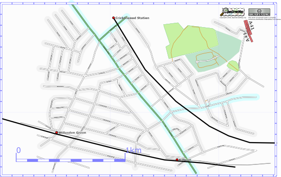
This is an area loosly bounded by Crickwood, Kilburn and Willesden Green stations.
Current
Here is the current progress as of 11 Dec 2006.
Progress
| Previously | Most of the roads off Cricklewood Broadway, Walm Lane and Fordsych completed. |
| 10 Dec 2006 | Hillfield road (a slight tee shaped road).
Roads going to Fortune green Achilles Road and Ulysses Road. Long roads Ranulf and Hocroft Road, also Hocroft Avenue. Harman Drive and Harman Close. There is an entrance to the playing fields. Footpath to Menelik Road. |
| 28 Dec 2006 | Use the applet to trace in Hampstead cemetery and the adjoining sports fields. |
| 2 Jan 2007 | Chandos rd -> Riffel Rd.
St Pauls Av goes to meet chapter, turn across road -> Park Av: onL Griffin Cl R Jaymer Av. L Kenneth Cr (loops back): onR Gay cl |
Before
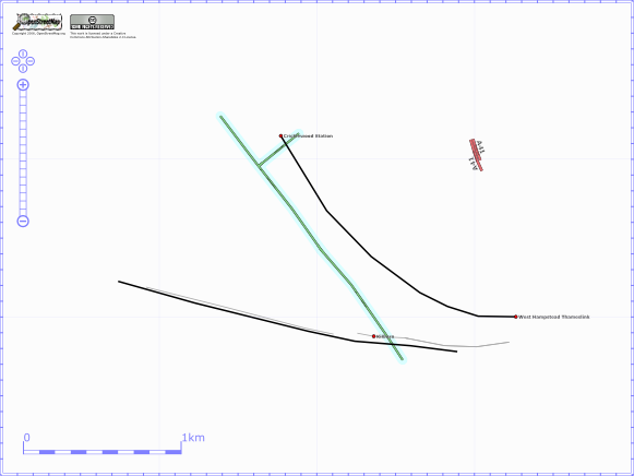
The image below shows this area as it was in OSM at 19th Nov 2006. There is very little existing coverage although there were a few segments that are not shown on the map.

