File:Brasilia 2011-03-13.png
Jump to navigation
Jump to search

No higher resolution available.
Brasilia_2011-03-13.png (426 × 435 pixels, file size: 165 KB, MIME type: image/png)
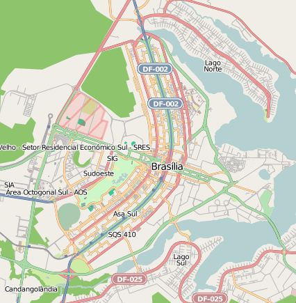
OpenStreetMap view of Brasília, capital city of Brazil. http://www.openstreetmap.org/?lat=-15.7968&lon=-47.8835&zoom=12&layers=B000FTF
Licensing
![]()
![]()
![]()
This screenshot contains OpenStreetMap Carto rendering.
The OpenStreetMap Carto map style is made available under the Creative Commons CC-0 1.0 Universal Public Domain Dedication.
- Attribution to the map data:
![]()
Contains map data © OpenStreetMap contributors, made available under the terms of the Creative Commons Attribution-ShareAlike 2.0 (CC-BY-SA-2.0).
File history
Click on a date/time to view the file as it appeared at that time.
| Date/Time | Thumbnail | Dimensions | User | Comment | |
|---|---|---|---|---|---|
| current | 13:26, 13 March 2011 | | 426 × 435 (165 KB) | Bilbo (talk | contribs) | OpenStreetMap view of Brasília, capital city of Brazil. http://www.openstreetmap.org/?lat=-15.7968&lon=-47.8835&zoom=12&layers=B000FTF File history |
You cannot overwrite this file.
File usage
There are no pages that use this file.