File:Chester2.png
Jump to navigation
Jump to search
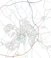
Size of this preview: 528 × 599 pixels. Other resolutions: 211 × 240 pixels | 423 × 480 pixels.
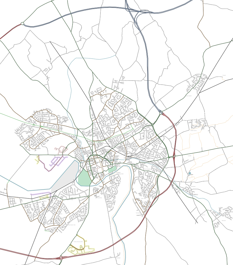
Original file (800 × 908 pixels, file size: 789 KB, MIME type: image/png)
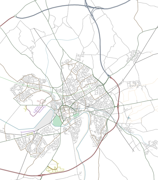
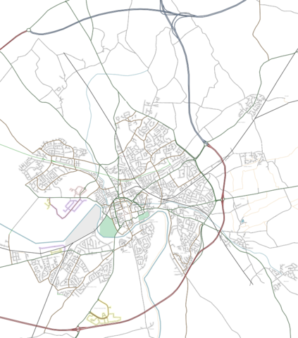
Wider Chester (UK) rendered by osmarender2
Map of Chester
This map and others like it, were created by OpenStreetmap contributors, and are licensed as Creative Commons CC-BY-SA 2.0 (https://creativecommons.org/licenses/by-sa/2.0/) (see OpenStreetMap licence).
Use {{mapof|PlaceName}} to add this template to your images.
This map and others like it, were created by OpenStreetmap contributors, and are licensed as Creative Commons CC-BY-SA 2.0 (https://creativecommons.org/licenses/by-sa/2.0/) (see OpenStreetMap licence).
Use {{mapof|PlaceName}} to add this template to your images.
![]()
Contains map data © OpenStreetMap contributors, made available under the terms of the Creative Commons Attribution-ShareAlike 2.0 (CC-BY-SA-2.0).
File history
Click on a date/time to view the file as it appeared at that time.
| Date/Time | Thumbnail | Dimensions | User | Comment | |
|---|---|---|---|---|---|
| current | 18:11, 22 July 2006 | | 800 × 908 (789 KB) | Chrismorl (talk | contribs) | Wider Chester rendered by osmarender2 |
You cannot overwrite this file.
File usage
There are no pages that use this file.