File:Cycle barrier squeeze image.jpg
Jump to navigation
Jump to search


Size of this preview: 800 × 533 pixels. Other resolutions: 320 × 213 pixels | 640 × 426 pixels | 1,024 × 682 pixels.
Original file (1,024 × 682 pixels, file size: 355 KB, MIME type: image/jpeg)
Summary
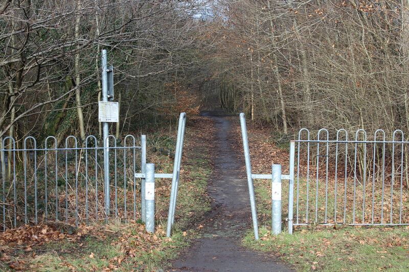
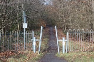
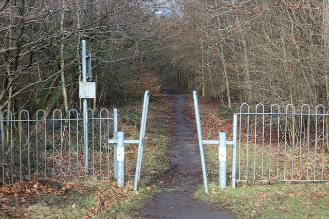
Photo © M J Roscoe (cc-by-sa/2.0). Source: https://www.geograph.org.uk/photo/5682976. Description: Ebbw Fach Trail, near Roseheyworth, Abertillery. Cycle/footpath going north from the end of Abertillery Park, part of National Cycle Route 465.
Licensing
![]()
![]()
![]()
This work is licensed under the Creative Commons Attribution-ShareAlike 2.0 License.
Attribution: M J Roscoe
Attribution: M J Roscoe
File history
Click on a date/time to view the file as it appeared at that time.
| Date/Time | Thumbnail | Dimensions | User | Comment | |
|---|---|---|---|---|---|
| current | 20:24, 11 June 2021 | | 1,024 × 682 (355 KB) | Supaplex030 (talk | contribs) | Photo © M J Roscoe (cc-by-sa/2.0). Source: https://www.geograph.org.uk/photo/5682976. Description: Ebbw Fach Trail, near Roseheyworth, Abertillery. Cycle/footpath going north from the end of Abertillery Park, part of National Cycle Route 465. |
You cannot overwrite this file.
File usage
The following 8 pages use this file: