File:Data layer screenshot.png

Original file (1,158 × 776 pixels, file size: 516 KB, MIME type: image/png)
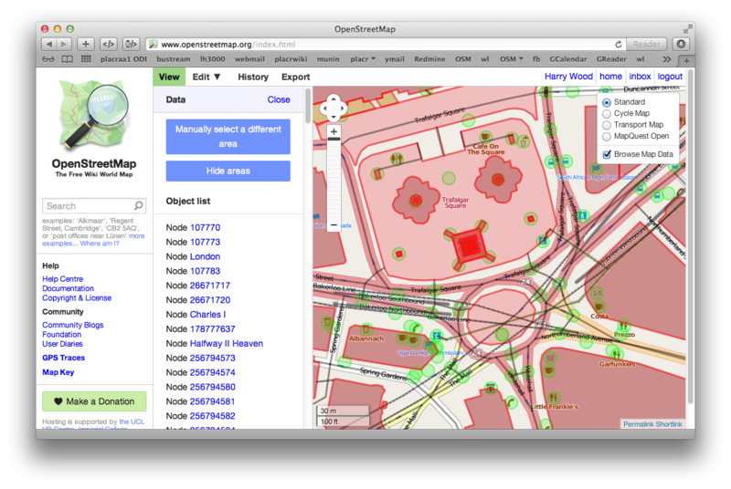
Screenshot to illustrate Data layer (here on the map)
Licensing
| Contains map data © OpenStreetMap contributors, made available under the terms of the Open Database License (ODbL).
The ODbL does not require any particular license for maps produced from ODbL data, produced maps may be subject also to other licences. |

|
™ OpenStreetMap Foundation This file is (or includes) one of the official logos or designs used by the OpenStreetMap Foundation or by one of its projects. Use of the OpenStreetMap Foundation logos, trademarks and servicemarks may require permission by OpenStreetMap Foundation. If you have questions about your use of the marks, please send your questions to the Licence Working Group of OpenStreetMap Foundation. For more information see the Trademark Policy. |
File history
Click on a date/time to view the file as it appeared at that time.
| Date/Time | Thumbnail | Dimensions | User | Comment | |
|---|---|---|---|---|---|
| current | 23:58, 24 January 2013 | | 1,158 × 776 (516 KB) | Harry Wood (talk | contribs) | update to match the new interface design changes and switch to Leaflet |
| 22:24, 23 October 2010 | 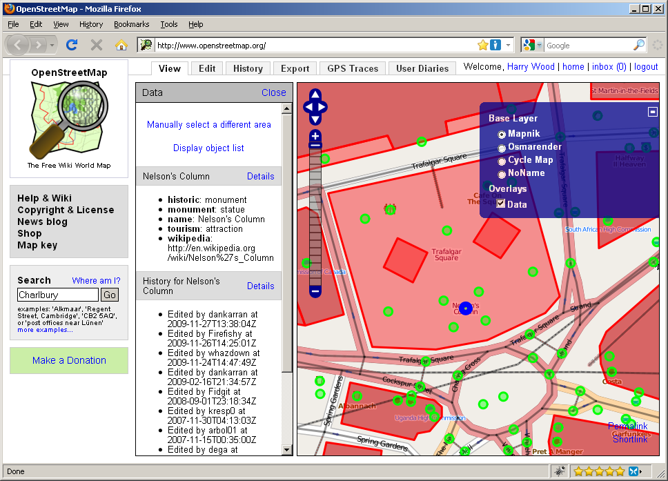 | 968 × 697 (201 KB) | Harry Wood (talk | contribs) | Screenshot to illustrate Data layer ([http://www.openstreetmap.org/?lat=51.507919&lon=-0.127872&zoom=18 here on the map]) |
You cannot overwrite this file.
File usage
The following page uses this file: