File:F4 map penza arbekovo.png
Jump to navigation
Jump to search

Size of this preview: 555 × 600 pixels. Other resolutions: 222 × 240 pixels | 635 × 686 pixels.
Original file (635 × 686 pixels, file size: 438 KB, MIME type: image/png)
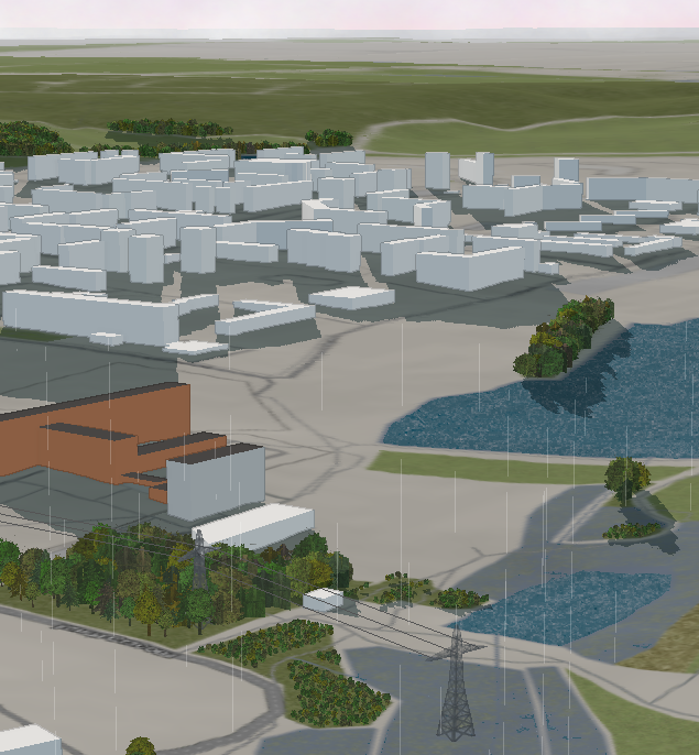
Район Шестой городской больницы и Запрудного (Пенза) в дождливый день на трёхмерном рендере от компании F4.
http://map.f4-group.com/#lat=53.2290185&lon=44.9024063&zoom=17&camera.theta=80&camera.phi=125.077
One of districts of Penza (Russia) on a render by F4-group. Screenshot made on a rainy day.
http://map.f4-group.com/#lat=53.2290185&lon=44.9024063&zoom=17&camera.theta=80&camera.phi=125.077
Licensing
| Contains map data © OpenStreetMap contributors, made available under the terms of the Open Database License (ODbL).
The ODbL does not require any particular license for maps produced from ODbL data, produced maps may be subject also to other licences. |
File history
Click on a date/time to view the file as it appeared at that time.
| Date/Time | Thumbnail | Dimensions | User | Comment | |
|---|---|---|---|---|---|
| current | 12:15, 31 October 2013 | | 635 × 686 (438 KB) | Kachkaev (talk | contribs) | Район Шестой городской больницы и Запрудного (Пенза) в дождливый день на трёхмерном рендере от компании F4.<br/> http://map.f4-group.com/#lat=53.2290185&lon=44.90240... |
You cannot overwrite this file.
File usage
The following page uses this file: