File:Fontaine EssaiQGIS6.png
Original file (706 × 702 pixels, file size: 406 KB, MIME type: image/png)
This is my own work.
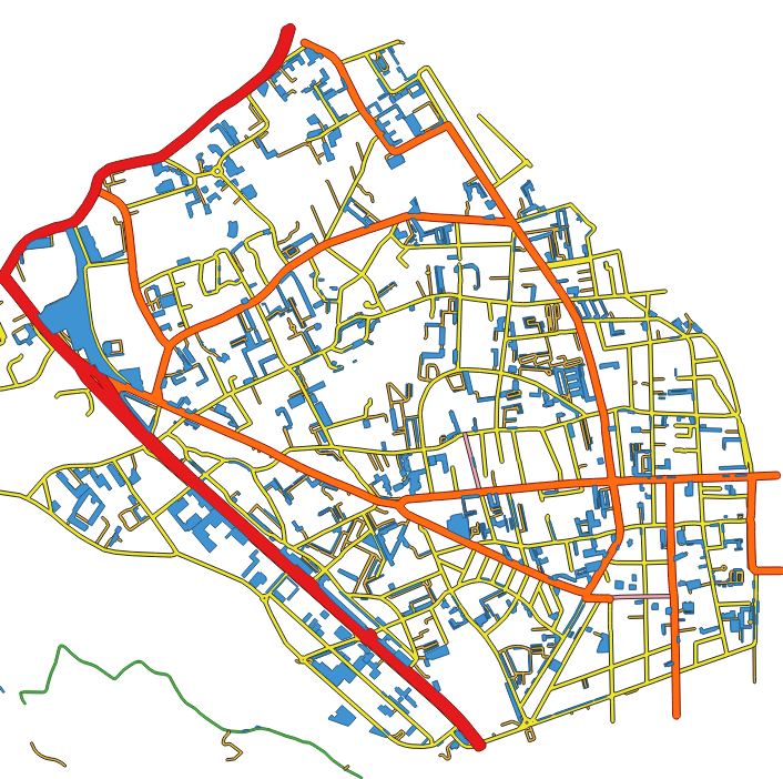
OSM highways in Fontaine 38600, France.
OSM highways linear geometry into ribbons of various width thanks to QGIS, so that we get surfaces and not lines. According to type of highway, an average specific width is chosen so that we get a surface. This is a very first approach to be improved...
We also have amenity=parking + parking=surface and as well building=garage.
This work is my own work. It was not copied from anybody.
| Contains map data © OpenStreetMap contributors, made available under the terms of the Open Database License (ODbL).
The ODbL does not require any particular license for maps produced from ODbL data, produced maps may be subject also to other licences. |
File history
Click on a date/time to view the file as it appeared at that time.
| Date/Time | Thumbnail | Dimensions | User | Comment | |
|---|---|---|---|---|---|
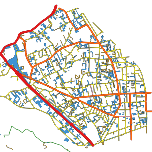
| current | 17:34, 20 March 2022 | | 706 × 702 (406 KB) | Barnes38 (talk | contribs) |
You cannot overwrite this file.
File usage
The following 2 pages use this file: