File:GPSDeadZoneJOSM.png
Jump to navigation
Jump to search

No higher resolution available.
GPSDeadZoneJOSM.png (712 × 538 pixels, file size: 115 KB, MIME type: image/png)
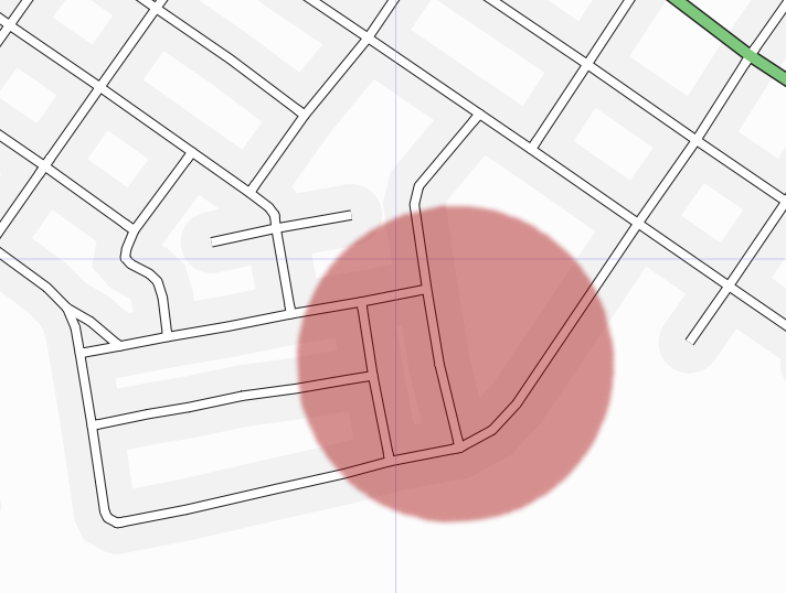
Area of bad GPS reception in Cambridge (Preston) Ontario Canada. As rendered by osmarender in JOSM. Highlight added in the GIMP.
![]()
Contains map data © OpenStreetMap contributors, made available under the terms of the Creative Commons Attribution-ShareAlike 2.0 (CC-BY-SA-2.0).
File history
Click on a date/time to view the file as it appeared at that time.
| Date/Time | Thumbnail | Dimensions | User | Comment | |
|---|---|---|---|---|---|
| current | 01:57, 30 December 2006 | | 712 × 538 (115 KB) | Rw (talk | contribs) | Area of bad GPS reception in Cambridge (Preston) Ontario Canada. As rendered by osmarender in JOSM. Highlight added in the GIMP. |
You cannot overwrite this file.
File usage
The following 3 pages use this file: