File:Haiti osm-matrix grid over Jacmel.jpg
Jump to navigation
Jump to search

Size of this preview: 800 × 538 pixels. Other resolutions: 320 × 215 pixels | 640 × 430 pixels | 1,031 × 693 pixels.
Original file (1,031 × 693 pixels, file size: 116 KB, MIME type: image/jpeg)
Summary
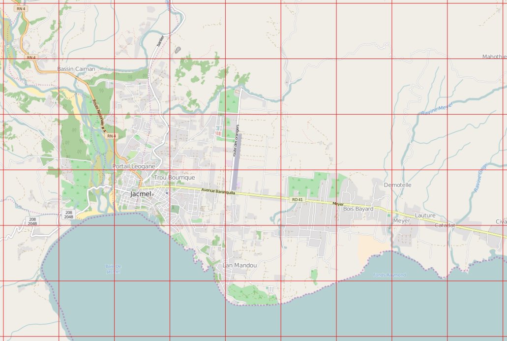
Grid from the old osm-matrix tool used in Haiti earthquake response work 2010.
This is not an actual screenshot, but reproduced by Jean-Guilhem Cailton using an original grid GPX file from the tool. The tool originally showed squares in different colours indicating assessment scores
Licensing
| Contains map data © OpenStreetMap contributors, made available under the terms of the Open Database License (ODbL).
The ODbL does not require any particular license for maps produced from ODbL data, produced maps may be subject also to other licences. |
File history
Click on a date/time to view the file as it appeared at that time.
| Date/Time | Thumbnail | Dimensions | User | Comment | |
|---|---|---|---|---|---|
| current | 13:12, 2 April 2016 | | 1,031 × 693 (116 KB) | Harry Wood (talk | contribs) | Grid from an system called "osm-matrix" used in Haiti earthquake response work 2010 |
You cannot overwrite this file.
File usage
The following page uses this file: