File:MappingPartyDetailWithBuildingHeights.png
Jump to navigation
Jump to search

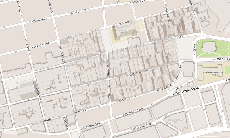
Size of this preview: 800 × 482 pixels. Other resolutions: 320 × 193 pixels | 640 × 386 pixels | 1,189 × 717 pixels.
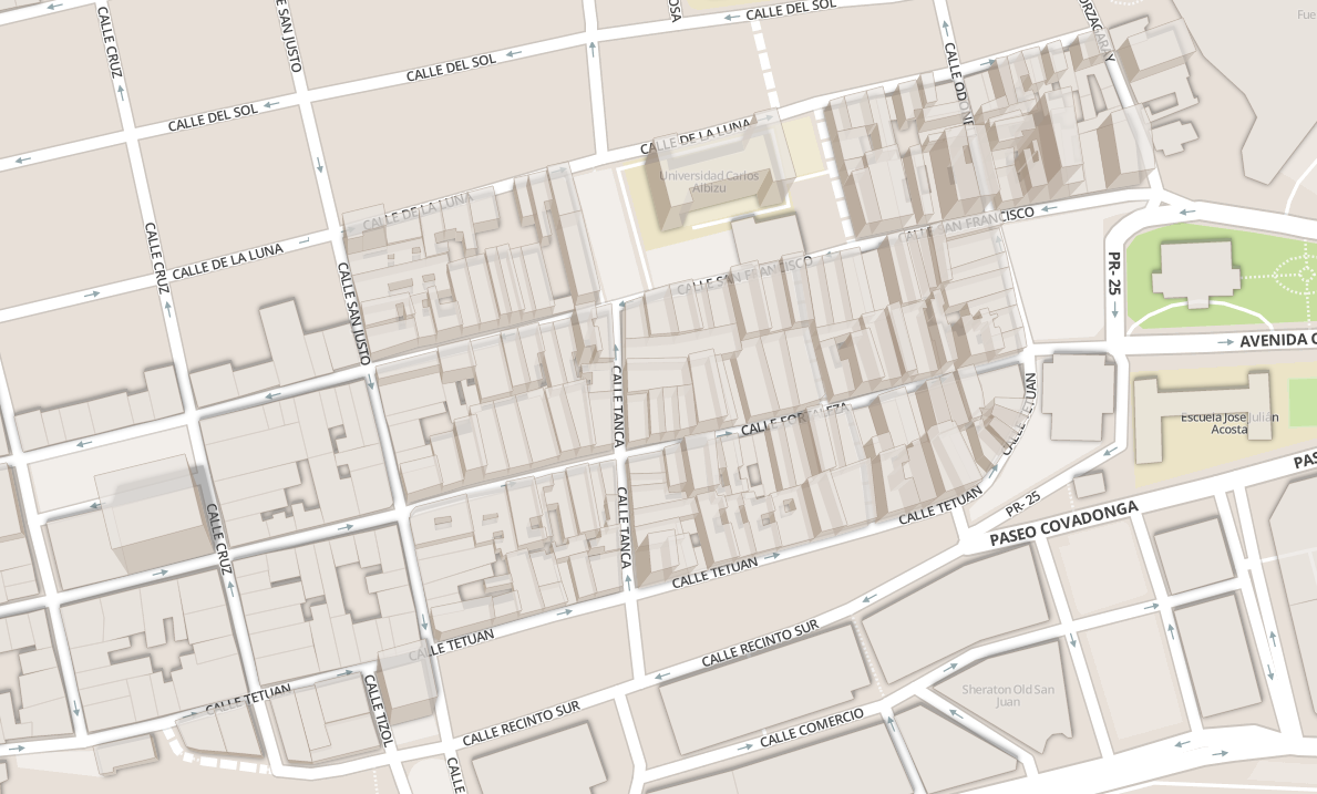
Original file (1,189 × 717 pixels, file size: 488 KB, MIME type: image/png)
Rendering of building heights resulting from SJ PR Mapping Party #1 effort.
Licensing
| Contains map data © OpenStreetMap contributors, made available under the terms of the Open Database License (ODbL).
The ODbL does not require any particular license for maps produced from ODbL data, produced maps may be subject also to other licences. |
File history
Click on a date/time to view the file as it appeared at that time.
| Date/Time | Thumbnail | Dimensions | User | Comment | |
|---|---|---|---|---|---|
| current | 17:19, 12 February 2014 | | 1,189 × 717 (488 KB) | Vramirez122000 (talk | contribs) | Rendering of building heights resulting from SJ PR Mapping Party #1 effort. |
You cannot overwrite this file.
File usage
The following 2 pages use this file: