File:MassGIS Parcels Example.png
Jump to navigation
Jump to search

No higher resolution available.
MassGIS_Parcels_Example.png (620 × 320 pixels, file size: 12 KB, MIME type: image/png)
Summary
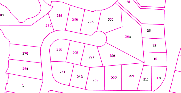
Example of overlay available from the MassGIS L3 Parcels data layer. Taken from https://www.mass.gov/service-details/massgis-base-map.
Licensing
![]()
The creator of this work has released it into the public domain. This applies worldwide.
In case this is not legally possible, the creator has granted anyone the right to use this work for any purpose, without any conditions, unless such conditions are required by law.
Notice to creator or uploader: CC0 license might be more suitable. "Releasing work to public domain" has some issues, as it is not well defined in some jurisdictions and/or it is not actually possible to "release to public domain". Using CC0 license achieves the intended effect while avoiding such problems and is well suited for media files. Please state the author of this work.
This image is from MassGIS (Bureau of Geographic Information), Commonwealth of Massachusetts EOTSS. Per their Frequently Asked Questions, all their data is in the public domain and can be used by anyone for any purpose.
File history
Click on a date/time to view the file as it appeared at that time.
| Date/Time | Thumbnail | Dimensions | User | Comment | |
|---|---|---|---|---|---|
| current | 16:28, 6 January 2021 | | 620 × 320 (12 KB) | PeterCooperJr (talk | contribs) | Example of overlay available from the MassGIS L3 Parcels data layer. Taken from [https://www.mass.gov/service-details/massgis-base-map]. |
You cannot overwrite this file.
File usage
The following page uses this file: