File:Rathaus Hainsberg.jpg
Jump to navigation
Jump to search


Size of this preview: 800 × 533 pixels. Other resolutions: 320 × 213 pixels | 640 × 427 pixels | 1,024 × 683 pixels | 1,200 × 800 pixels.
Original file (1,200 × 800 pixels, file size: 347 KB, MIME type: image/jpeg)
This file and its description are from Wikimedia Commons.
| Description |
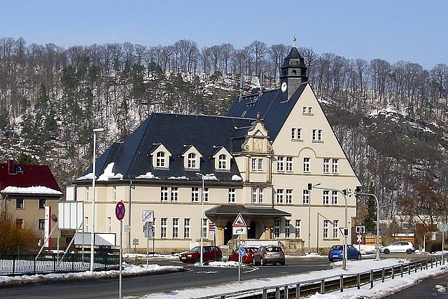
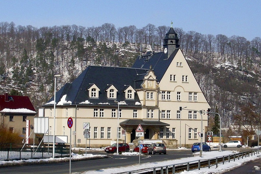
Deutsch: Ehemaliges Rathaus des Freitaler Stadtteils Hainsberg |
| Date | |
| Source | Own work |
| Author | Geri-oc |
| Openstreetmap entry | Link to Openstreetmap |
Geri-oc, the copyright holder of this work, hereby publishes it under the following license:
This file is licensed under the Creative Commons Attribution-Share Alike 3.0 Germany license.
Attribution: Geri-oc
- You are free:
- to share – to copy, distribute and transmit the work
- to remix – to adapt the work
- Under the following conditions:
- attribution – You must give appropriate credit, provide a link to the license, and indicate if changes were made. You may do so in any reasonable manner, but not in any way that suggests the licensor endorses you or your use.
- share alike – If you remix, transform, or build upon the material, you must distribute your contributions under the same or compatible license as the original.
| Object location | | View this and other nearby images on: OpenStreetMap |
|---|
File history
Click on a date/time to view the file as it appeared at that time.
| Date/Time | Thumbnail | Dimensions | User | Comment | |
|---|---|---|---|---|---|
| current | 07:11, 30 June 2013 | | 1,200 × 800 (347 KB) | wikimediacommons>Geri-oc | {{Information |Description ={{de|1=Ehemaliges Rathaus des Freitaler Stadtteils Hainsberg}} |Source ={{own}} |Author =Geri-oc |Date =2011 |Permission = |other_versions = }} {{self|author=[[:de:Benutzer:G... |
File usage
There are no pages that use this file.