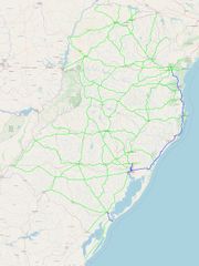
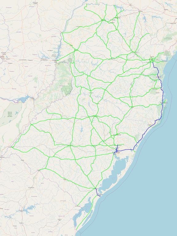
File:Trunks and motorways in South Brazil.jpg

Original file (1,800 × 2,400 pixels, file size: 1.26 MB, MIME type: image/jpeg)
Licensing
![]()
![]()
The OpenStreetMap Carto map style is made available under the Creative Commons CC-0 1.0 Universal Public Domain Dedication.
- Attribution to the map data:
| Contains map data © OpenStreetMap contributors, made available under the terms of the Open Database License (ODbL).
The ODbL does not require any particular license for maps produced from ODbL data, produced maps may be subject also to other licences. |
- This media file was uploaded by author of the work and its copyright holder.
![]()
![]()
The person who associated a work with this deed has dedicated the work to the public domain by waiving all of his or her rights to the work worldwide under copyright law, including all related and neighboring rights, to the extent allowed by law. You can copy, modify, distribute and perform the work, even for commercial purposes, all without asking permission.
File history
Click on a date/time to view the file as it appeared at that time.
| Date/Time | Thumbnail | Dimensions | User | Comment | |
|---|---|---|---|---|---|
| current | 19:57, 18 March 2019 | | 1,800 × 2,400 (1.26 MB) | Fbello (talk | contribs) | Adicionado anel viário de Caxias do Sul |
| 15:44, 12 November 2018 |  | 1,800 × 2,400 (1.26 MB) | Fbello (talk | contribs) | ||
| 19:14, 5 October 2018 |  | 1,800 × 2,400 (719 KB) | Fbello (talk | contribs) | Completed ring around Curitiba | |
| 19:01, 5 October 2018 |  | 1,800 × 2,400 (719 KB) | Fbello (talk | contribs) |
You cannot overwrite this file.
File usage
The following 2 pages use this file: