File:ZIG.jpg
Jump to navigation
Jump to search

No higher resolution available.
ZIG.jpg (436 × 440 pixels, file size: 101 KB, MIME type: image/jpeg)
Summary
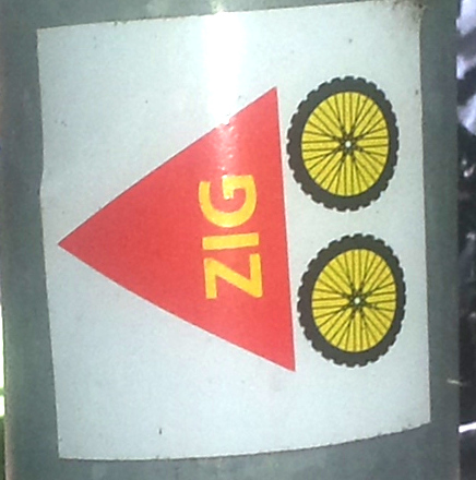
| Description | Route marker as sticker "ZIG" (cycling). Found as overlap with Ruhrtalradweg, but also in France near Rochefort. Exists also without letters "ZIG". |
|---|---|
| Author | segubi |
| Source | own photo |
| Date | 2023-07-22 |
Licensing
![]()
![]()
This file is made available under the Creative Commons CC0 1.0 Universal Public Domain Dedication.
The person who associated a work with this deed has dedicated the work to the public domain by waiving all of his or her rights to the work worldwide under copyright law, including all related and neighboring rights, to the extent allowed by law. You can copy, modify, distribute and perform the work, even for commercial purposes, all without asking permission.
File history
Click on a date/time to view the file as it appeared at that time.
| Date/Time | Thumbnail | Dimensions | User | Comment | |
|---|---|---|---|---|---|
| current | 06:22, 24 July 2023 | | 436 × 440 (101 KB) | Segubi (talk | contribs) | {{Information | description=Route marker as sticker "ZIG" (cycling). Found as overlap with Ruhrtalradweg, but also in France near Rochefort. Exists also without letters "ZIG". | source=own photo | date=2023-07-22 | author=segubi | other_versions= }} |
You cannot overwrite this file.
File usage
The following page uses this file: