Höfuðborgarsvæðið/Party/2008-09-21
Jump to navigation
Jump to search

This is a past event.
Report
Ævar Arnfjörð Bjarmason and Bruce mcadam showed up around 10:00, mapping until around 12:40 with a break at Subway around 11-ish.
Coverage of the area was vastly improved.
Traces
- Ævar Arnfjörð Bjarmason
- GPX and images on flickr, they're all correctly geotagged. Exif time offset to GPS time: -10
- bruce_mcadam
- GPX It's mostly the corners of buildings. Each point has a number and a comment which says which building it is, and which other points belong to that building.
Pre-event
Advert
A mapping party in Höfuðborgarsvæðið will be held on Sunday September 21, 2008. Let's meet up at 10:00 outside Örninn in Skeifan (map). If you can't show up that just come later and look for the guys on bikes scooting around with GPS devices.
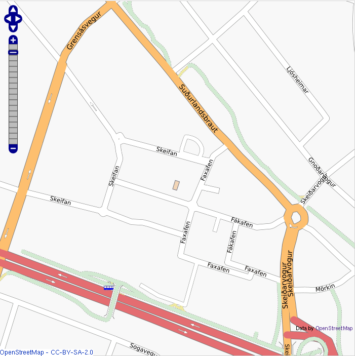
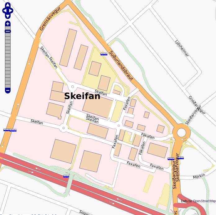
The plan is to map out Skeifan (the area between Grensásvegur, Suðurlandsbraut, Skeiðarvogur and Miklabraut:
TODO
What should we map out?
- Points of interest
- There are a lot of stores/restaurants/fast food places/etc. in Skeifan that offer some sort of public service, let's try to map all of these.
- Other POIs like companies that don't offer a public service take lower presidence
- highways
- The main ways (Tag:highway=residential) are mostly done (although they could use more accurate mapping but most of the service ways and their corresponding parking lots need to me mapped out.
- Almost all footways still need to be mapped
- Buildings
- Let's take the dimensions of buildings, this is especially easy e.g. south of Skeifan (the road) and east of Faxafen where most of the buildings are either really large, or part of a series of buildings that all have the same dimensions, or both.
Who
Who's showing up?
Map
Progress
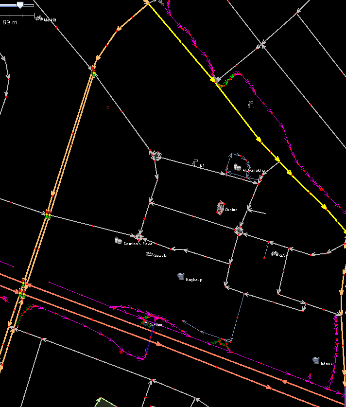
Before
Osmaprenderer view

JOSM view

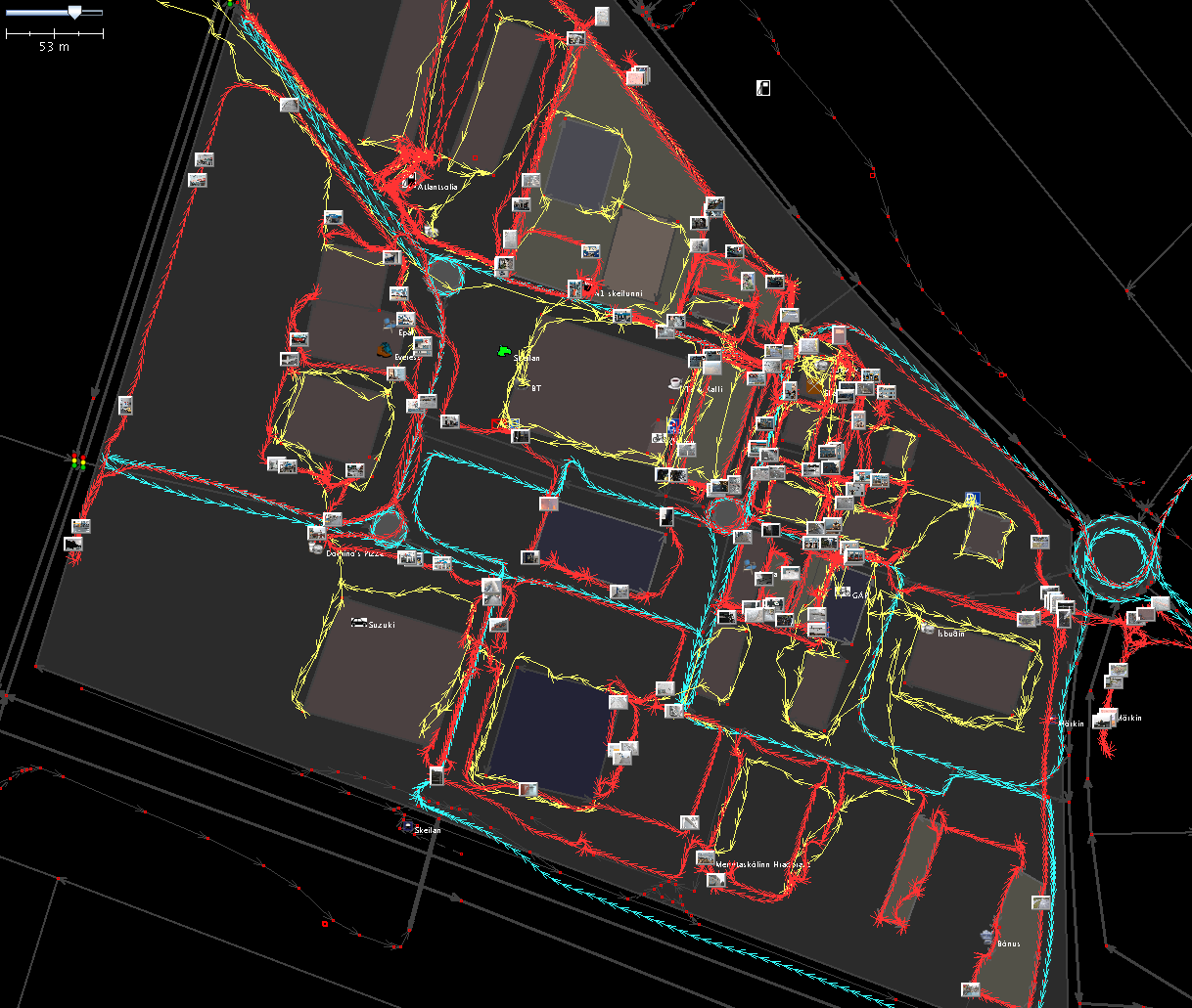
After
Osmaprenderer view

JOSM view

The traces made during the mapping party, yellow = bruce mcadam, red = Ævar, teal is Ævar too on the same day getting some more coverage of the residentials and roundabouts. A bunch of photos by Ævar are shown too (but not the one Bruce took)