Massachusetts GIS Pruning Import Plan
About
This plan describes how Massachusetts mappers propose to remove attributes from the data that was previously imported from MassGIS. This will be multi-step data removal process starting with several attributes from the highway import.
Import Plan Outline
When highways were imported from the Mass GIS database they included three tags that MAY have no value.
- Increase the length of the JOSM "Tag/Membership" window enough to require the user to frequently scroll or re-size the window.
- The massgis:way_id adds an additional step when combining road segments. (id's must be deleted or combined)
<a data-flickr-embed="true" href="https://www.flickr.com/photos/12580474@N06/28632820383/in/dateposted-public/" title="Boston Overpass"><img src="https://c8.staticflickr.com/9/8190/28632820383_8d785329e4.jpg" width="500" height="335" alt="Boston Overpass"></a><script async src="//embedr.flickr.com/assets/client-code.js" charset="utf-8"></script>
Goals
To delete the following KEYs based on Value from WAYS and/or NODES
- source~"mass_gis_import"(both ways & nodes are tagged)
- attribution~"Office of Geographic" (both ways & nodes are tagged)
- massgis:way_id=* (only the way is tagged)
These artifact tags are a burden
- Increasing the size of the database.
Schedule
Discussion & Consensus Building August-September 2016
Scripting & Testing September-October 2016
Completion December 2016
Import Data
No data will be imported or revised. Data will only be deleted. The source data is from the Mass GIS Imports
Background
Provide links to your sources.
Data source site: http://website.tld
Data license: https://website.tld/license
Type of license (if applicable): e.g. CC-BY-SA, Public Domain, Public Domain with Attribution, etc.
Link to permission (if required): e.g. link to mail list reference url - http://lists.openstreetmap.org/pipermail/imports/2012-December/001617.html
OSM attribution (if required): http://wiki.openstreetmap.org/wiki/Contributors#yourdataprovider
ODbL Compliance verified: yes/no
OSM Data Files
Link to your source data files that you have prepared for the import - e.g. the .osm files you have derived from the data sources.
Import Type
Identify if this is a one-time or recurring import and whether you'll be doing it with automated scripts, etc.
Identify what method will be used for entering the imported data into the OSM database - e.g. API, JOSM, upload.py, etc.
Data Preparation
Data Reduction & Simplification
Describe your plans, if any, to reduce the amount of data you'll need to import.
Examples of this include removing information that is already contained in OSM or simplifying shapefiles.
Tagging Plans
Not Applicable
Changeset Tags
Describe how you'll use changeset tags in the import.
Data Transformation
Not Applicable
Data Transformation Results
Not Applicable
Data Merge Workflow
Not Applicable
Team Approach
Describe if you'll be doing this solo or as a team.
References
List all factors that will be evaluated in the import.
Workflow
The Peace-meal Process
In overpass-turbo using the wizard query.
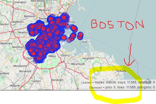
- type:way and (source~"massgis_import" or attribution~"Office of Geographic" or massgis:way_id=*) and highway=* in "Bedford,Massachusetts"
- Select Export
- Select JOSM
In JOSM
- Selection Menu - Select All
- Tags/Membership window, delete tags source, attribution & massgis:way_id
- Selection Menu - Select All Way Nodes
- Tags/Membership window, delete Keys source, attribution
- File menu - Upload Data
- Upload Window "Provide brief comment...." insert "Deleting legacy massgis tags from original imported data.
- Source Window "Turbo-Overpass query and type:way and highway=residential in "Massachusetts"
- Upload
Detail the steps you'll take during the actual import.
Information to include:
- Step by step instructions
- Changeset size policy
- Revert plans
Conflation
Identify your approach to conflation here.
QA
Add your QA plan here.