Uploads by JRA
Jump to navigation
Jump to search
This special page shows all uploaded files.
| Date | Name | Thumbnail | Size | Description | Versions |
|---|---|---|---|---|---|
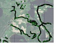
| 13:43, 18 May 2010 | Hstore.jpg (file) |  |
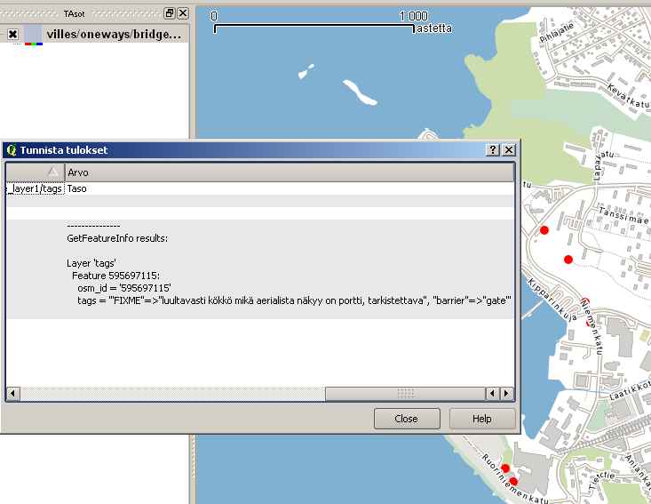
33 KB | Mapserver WMS rendering basemap from the standard PostGIS tables created by osm2pgsql. On top of the basemap there is a point layer that is queried by the hstore column "keys" that is created by the new osm2pgsql option -k. Mapserver is using this query | 1 |
| 14:07, 4 May 2010 | Mapserver euref Finland.jpg (file) |  |
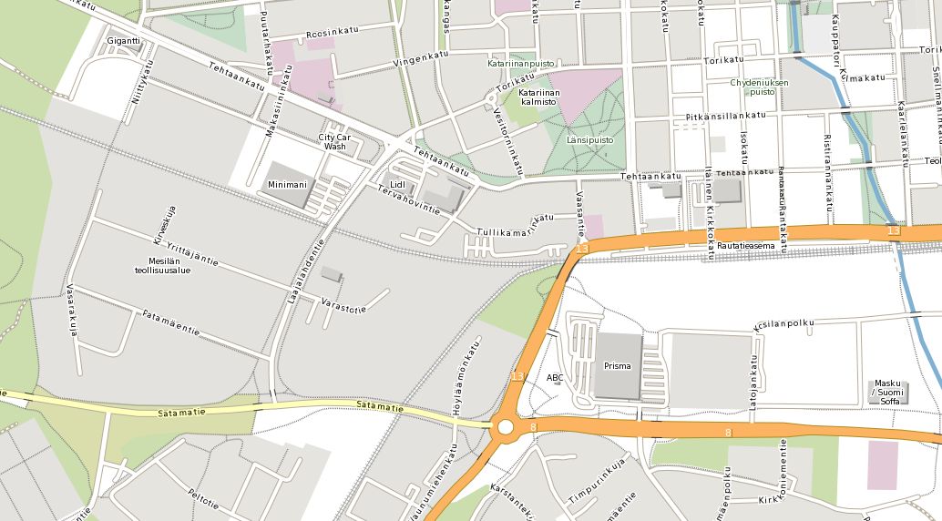
103 KB | Map rendered with Mapserver. Original format is GeoTIFF. Pixel size 2 m, image size 3000 by 3000 pixels to suit the Finnish mapsheet system. Ready to be made with any GIS program and simple to import into OziExplorer moving map software. | 1 |
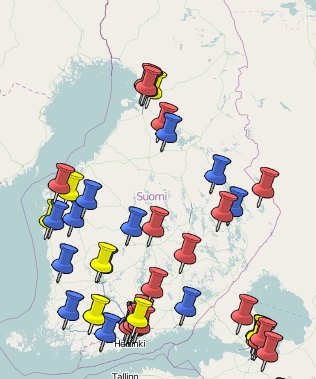
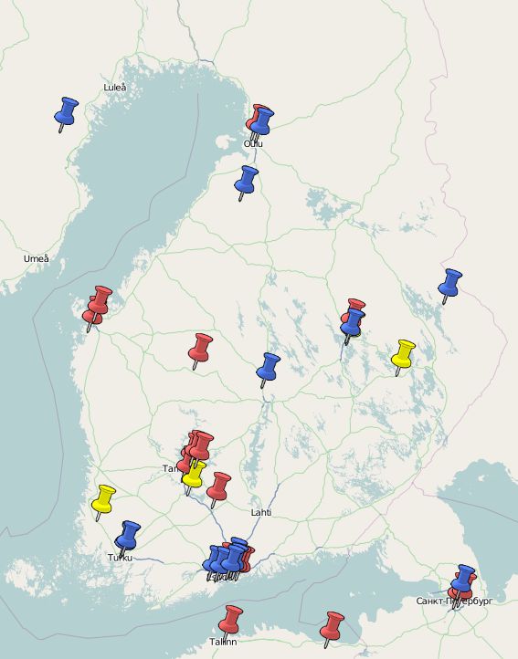
| 21:39, 19 November 2009 | FI HKI bus stops Mapserver.jpg (file) |  |
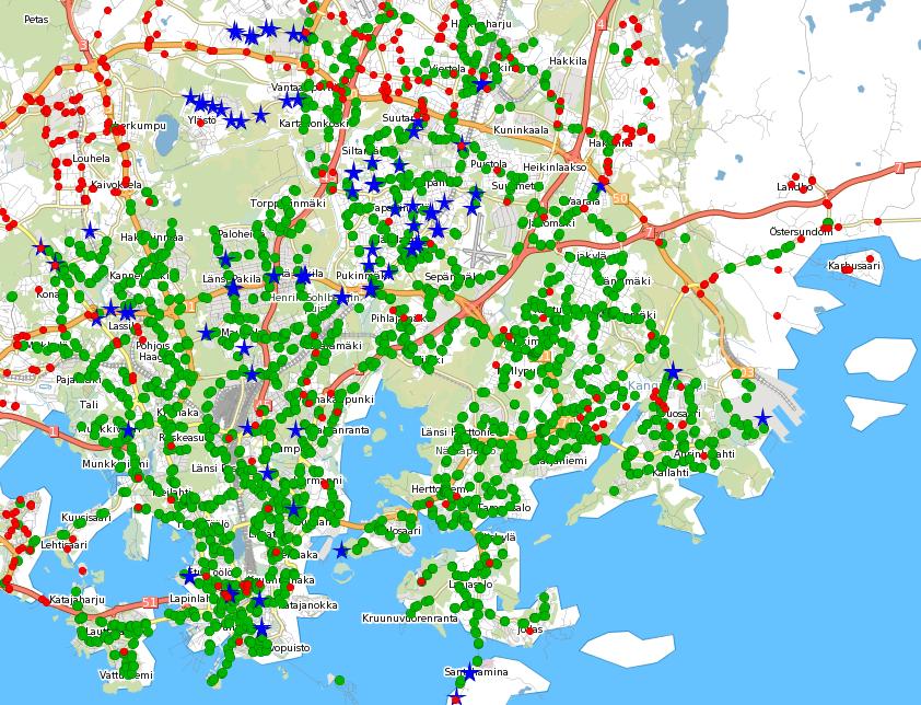
159 KB | Data: November 18, 2009. New stops with attribute data in Siltamäki-Suutarila area. | 18 |
| 21:29, 19 October 2009 | Aster DEM.jpg (file) |  |
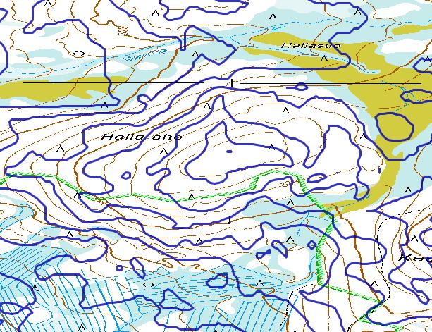
109 KB | Aster DEM on top of NLS base map somewhere in Finland. | 1 |
| 04:50, 8 September 2009 | OSM Aware example.jpg (file) |  |
86 KB | User activity 8.9. 2009. | 2 |
| 12:23, 1 June 2009 | OSM with mapserver 3.jpg (file) |  |
128 KB | OSM data rendered with Mapserver in Web Map Server (WMS) mode. Mapfile and instructions by Thomas Bonfort http://trac.osgeo.org/mapserver/wiki/RenderingOsmData | 1 |
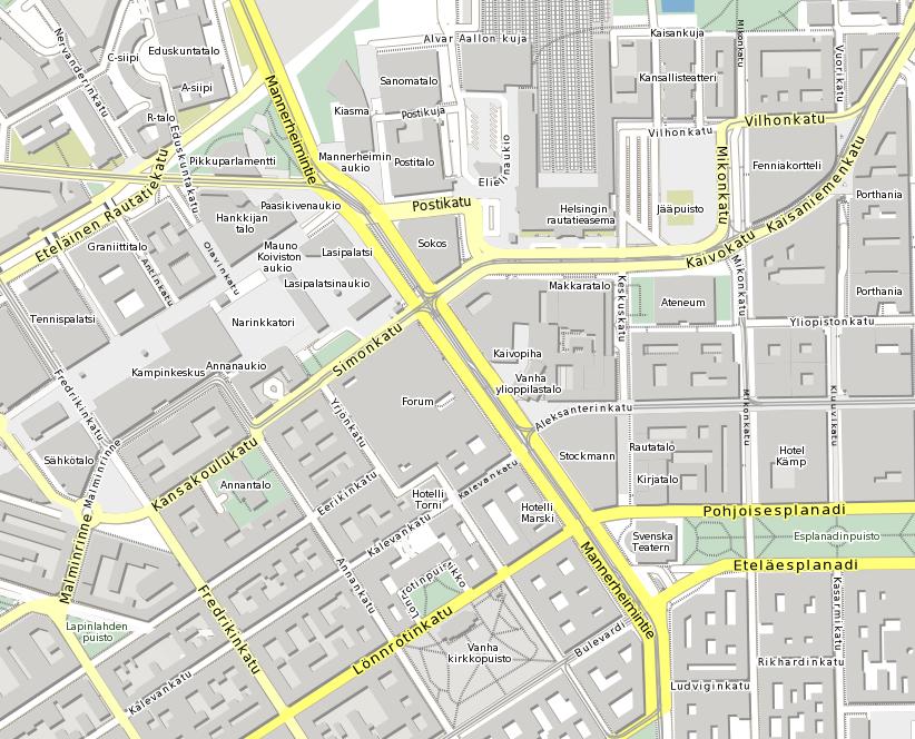
| 13:19, 16 November 2008 | OSM cross kitchen.jpg (file) |  |
198 KB | Image combined from a georeferenced basemap of Helsinki in ECW format and in UTM N35 projection and a vector layer from OGC Web Feature Service serving the same data. Data was imported first into PostGIS database with osm2pgsql utility. Basemap was rende | 1 |
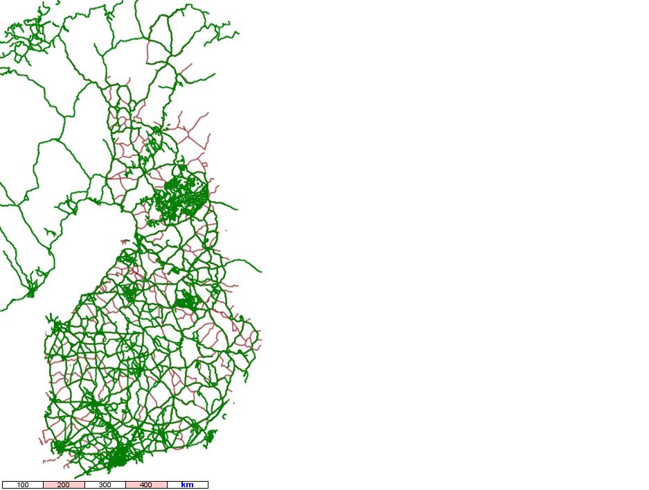
| 18:33, 3 November 2008 | Osm-day-Finland.jpg (file) |  |
49 KB | OSM activity in Finland on 2nd of November 2008 | 1 |
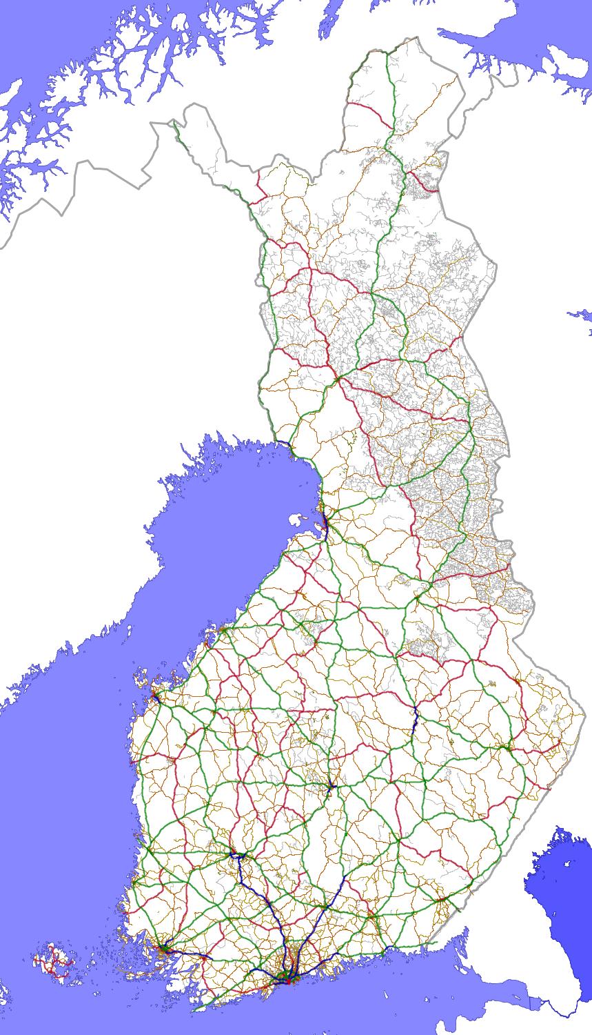
| 16:35, 25 August 2008 | Suomi 20080313.jpg (file) |  |
242 KB | Finnish highways 25th of August 2008 with total length of 100048 km. | 5 |
| 18:10, 11 February 2008 | Osm-Vmap0 Finland.jpg (file) |  |
77 KB | Updated file showing OSM data from February 11th, 2008. | 3 |
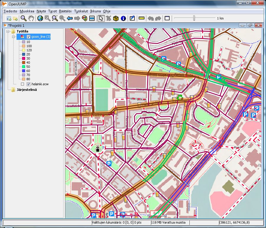
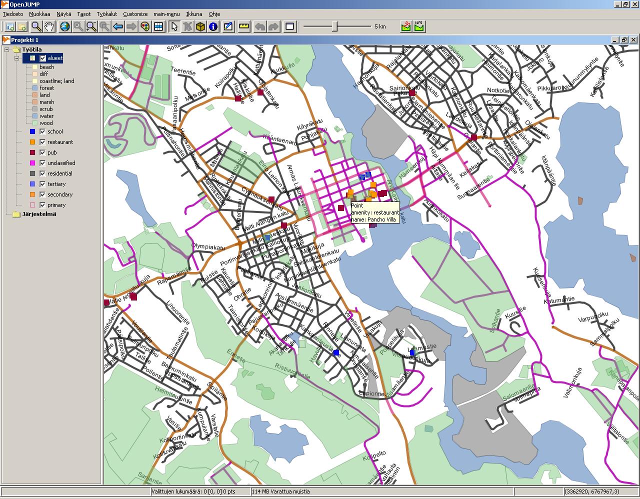
| 10:49, 14 January 2008 | OSM data in OpenJUMP.jpg (file) |  |
260 KB | OSM data stored in PostGIS database and split into layers by SQL queries. | 1 |
| 10:10, 17 December 2007 | Potlach man JRA 04.png (file) |  |
45 KB | Image for Finnish Potlatch manual: new road drawn by GPS track | 1 |
| 10:09, 17 December 2007 | Potlach man JRA 03.png (file) |  |
52 KB | Image for Finnish Potlatch manual: new GPS track in the editor. | 1 |
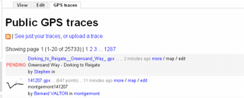
| 08:51, 17 December 2007 | Potlach man FI JRA 02.png (file) |  |
47 KB | GPS tracklog upload dialog for the Finnish Potlatch manual, image 2. | 1 |
| 08:50, 17 December 2007 | Potlach man FI JRA 01.png (file) |  |
19 KB | GPS tracklog upload dialog for the Finnish Potlatch manual, image 1. | 1 |
| 07:21, 16 October 2007 | Fi nodes from gps with tags.jpg (file) |  |
9 KB | 2 |