Uploads by KonfrareAlbert
Jump to navigation
Jump to search
This special page shows all uploaded files.
| Date | Name | Thumbnail | Size | Description | Versions |
|---|---|---|---|---|---|
| 08:36, 9 August 2016 | Osmbot-icon.png (file) | 4 KB | 1 | ||
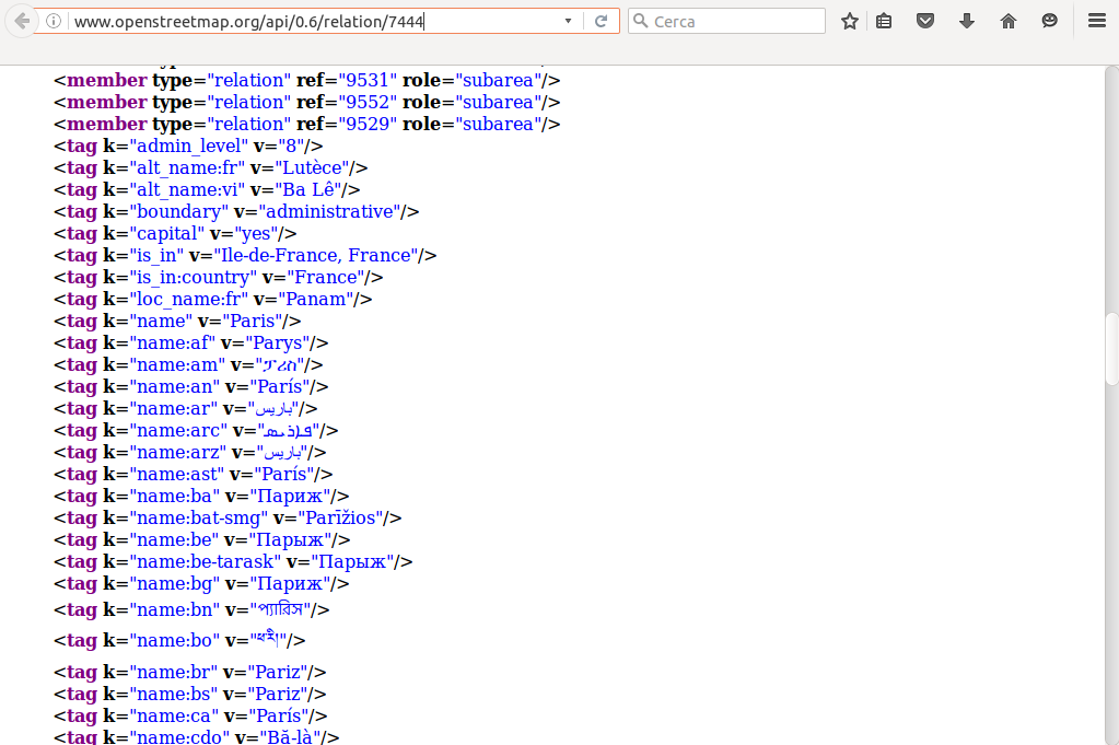
| 09:30, 19 July 2016 | Raw xml.png (file) |  |
139 KB | 1 | |
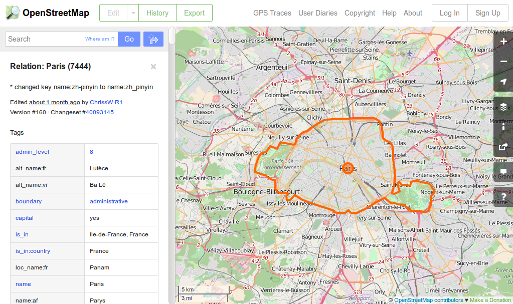
| 09:29, 19 July 2016 | Raw paris.png (file) |  |
709 KB | 1 | |
| 15:50, 27 June 2016 | Search osmbot.jpg (file) |  |
66 KB | 1 | |
| 20:49, 26 June 2016 | Help osmbot.jpg (file) |  |
65 KB | 1 | |
| 12:42, 26 June 2016 | Language osmbot.jpg (file) |  |
41 KB | 1 | |
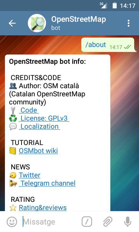
| 12:41, 26 June 2016 | About osmbot.jpg (file) |  |
54 KB | 1 | |
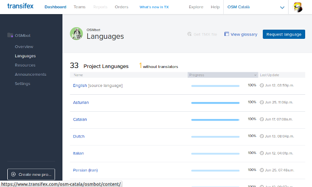
| 11:17, 26 June 2016 | Request languages.png (file) |  |
51 KB | 1 | |
| 11:08, 26 June 2016 | Legend.jpg (file) |  |
49 KB | 2 | |
| 20:38, 24 June 2016 | Osmbot wiki github.png (file) |  |
95 KB | 1 | |
| 13:48, 1 July 2015 | OSMbot Telegram.jpg (file) |  |
53 KB | 1 | |
| 17:07, 16 June 2015 | PaísValencià.png (file) |  |
5 KB | 1 | |
| 17:07, 16 June 2015 | IllesBalears.png (file) |  |
5 KB | 1 | |
| 17:07, 16 June 2015 | FranjaPonent.png (file) |  |
6 KB | 1 | |
| 17:07, 16 June 2015 | CatalunyaNord.png (file) |  |
6 KB | 1 | |
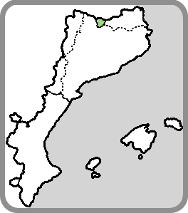
| 17:07, 16 June 2015 | Catalunya.png (file) |  |
6 KB | 1 | |
| 17:06, 16 June 2015 | Andorra2.png (file) |  |
5 KB | 1 | |
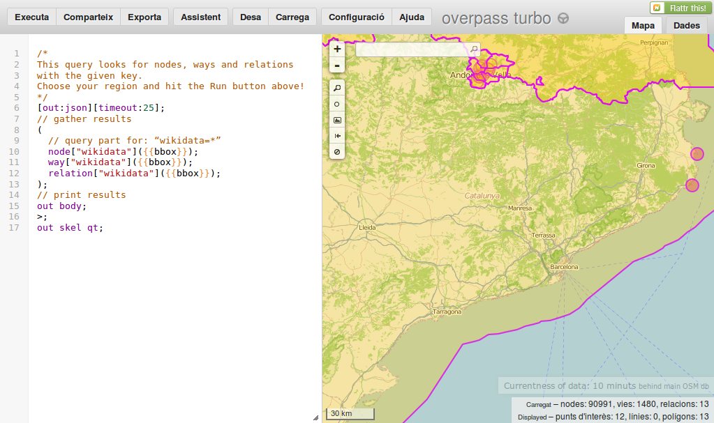
| 23:26, 1 January 2015 | Catalunya-wikidata-01-01-15.png (file) |  |
427 KB | 1 | |
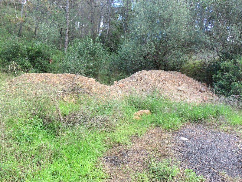
| 21:22, 21 October 2012 | Obstacle-Heap.JPG (file) |  |
281 KB | Two heaps of sand and rocks in forest of La Soleia near of the masia of Can Llopart in La Palma de Cervelló (Barcelona) [http://www.openstreetmap.org/?mlat=41.40765&mlon=1.96728&zoom=16&layers=M map] | 1 |
| 21:14, 21 October 2012 | Obstacle-Dense vegetation.JPG (file) |  |
281 KB | Dense vegetation that difficults the passability in the path from Can Llopart to fountain of Marge (path named "path of shaded") in La Palma de Cervelló (Barcelona) [http://www.openstreetmap.org/?mlat=41.40927&mlon=1.96601&zoom=16&layers=M map] | 1 |
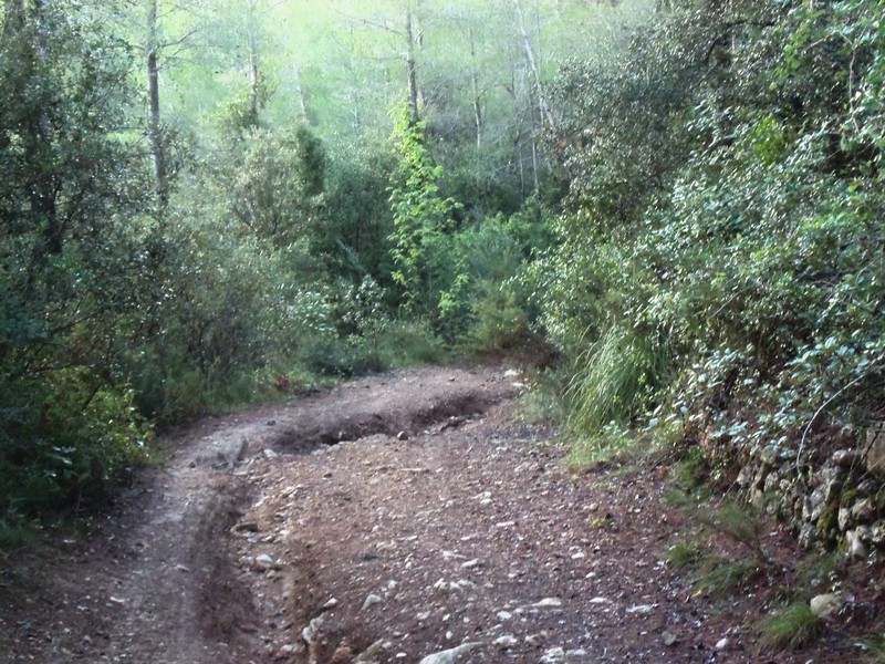
| 19:27, 21 October 2012 | Obstacle-Hole.JPG (file) |  |
250 KB | Hole in the forestry track from Can Via to El Maset in La Palma de Cervelló (Barcelona) [http://www.openstreetmap.org/?mlat=41.4091&mlon=1.95627&zoom=16&layers=M map] | 1 |
| 19:23, 21 October 2012 | Obstacle-Unevenness.JPG (file) |  |
266 KB | Hard unevenness in the path from El Maset to Cases de l'Aristot in La Palma de Cervelló (Barcelona) [http://www.openstreetmap.org/?mlat=41.40615&mlon=1.94919&zoom=16&layers=M map] | 1 |
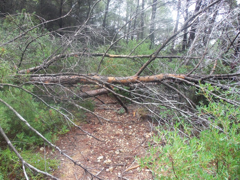
| 13:31, 19 October 2012 | Obstacle-Fallen tree.JPG (file) |  |
302 KB | Fallen tree that impedes the passability in a path of the forest of Can Pongen in La Palma de Cervelló. The tree fell in January 2009. [http://www.openstreetmap.org/?mlat=41.413279&mlon=1.978767&zoom=16&layers=M map] | 1 |
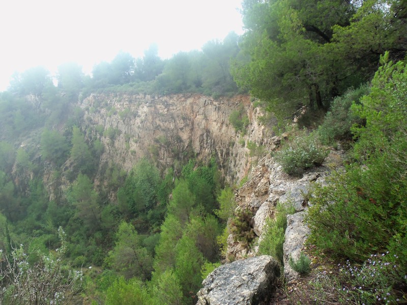
| 13:21, 19 October 2012 | Obstacle-Path with precipice.JPG (file) |  |
203 KB | Path alongside the precipice of the abandoned Glory quarry in La Palma de Cervelló-Pallejà (Barcelona) [http://www.openstreetmap.org/?mlat=41.41494&mlon=1.98093&zoom=15&layers=M map] | 1 |