Uploads by Thomas Wood
Jump to navigation
Jump to search
This special page shows all uploaded files.
| Date | Name | Thumbnail | Size | Description | Versions |
|---|---|---|---|---|---|
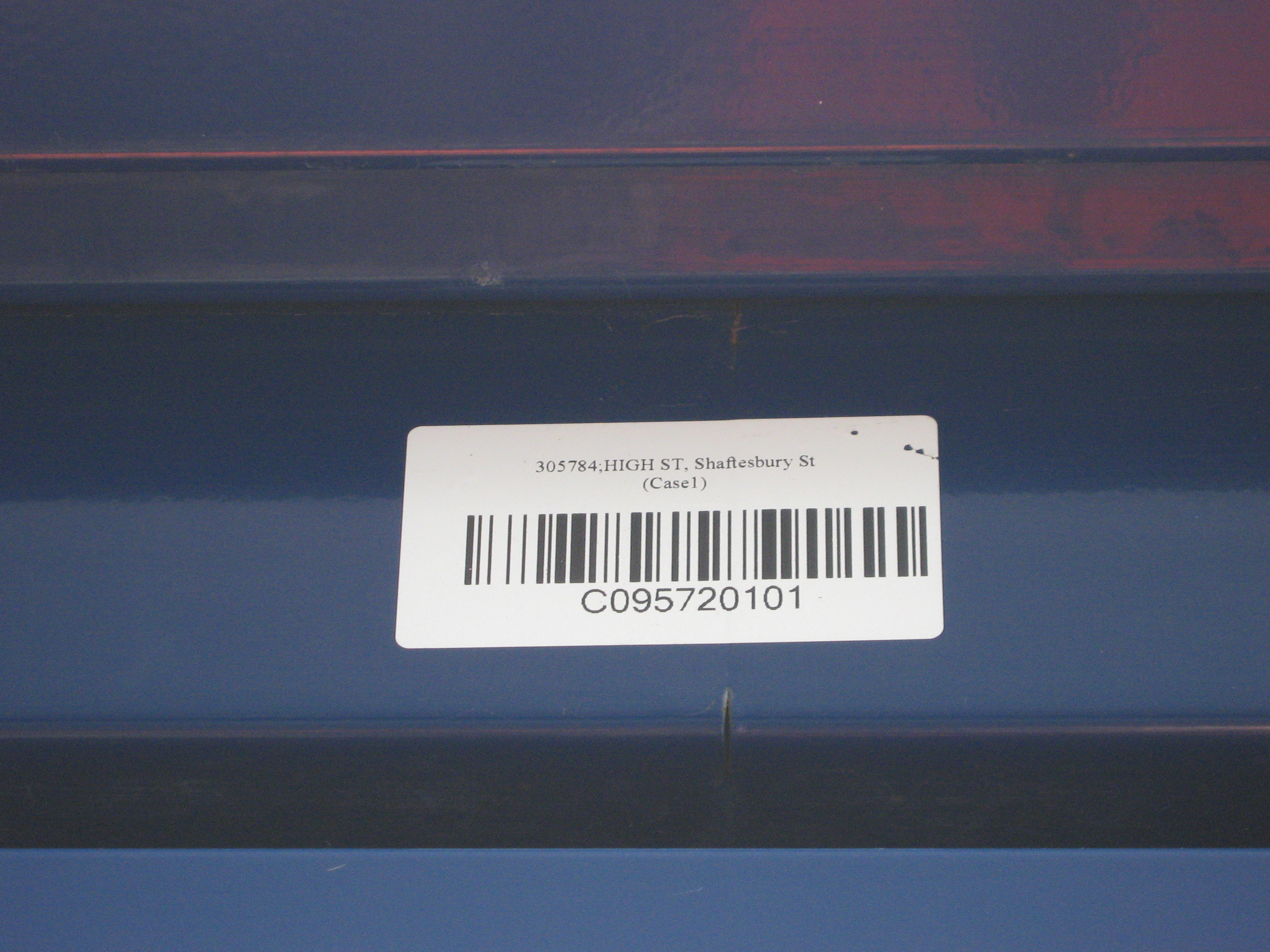
| 01:25, 5 April 2009 | WMAtcoBarcode.jpg (file) |  |
1.93 MB | 1 | |
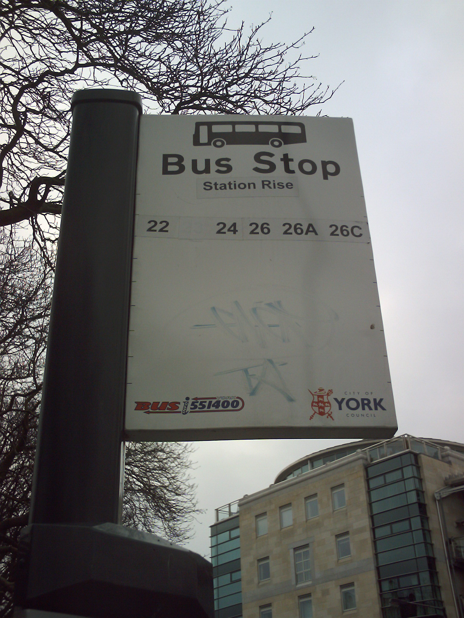
| 00:52, 1 March 2009 | York-std-bus.JPG (file) |  |
812 KB | 1 | |
| 00:52, 1 March 2009 | York-red-bus.JPG (file) |  |
590 KB | 1 | |
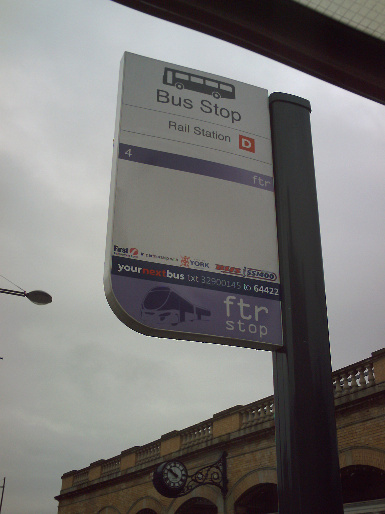
| 00:50, 1 March 2009 | York-ftr-bus.JPG (file) |  |
449 KB | 2 | |
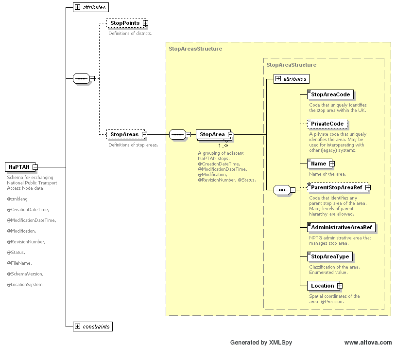
| 19:14, 12 February 2009 | NaPTAN StopArea.png (file) |  |
17 KB | 1 | |
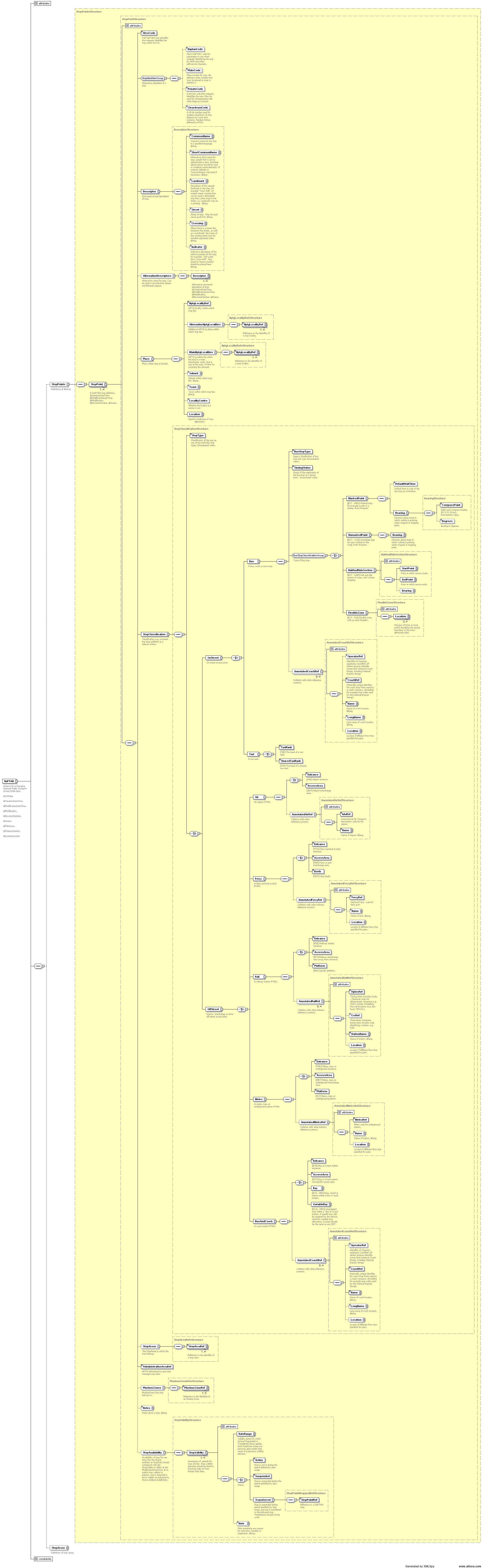
| 19:10, 12 February 2009 | NaPTAN StopPoint.png (file) |  |
214 KB | NaPTAN StopPoint diagram. | 1 |
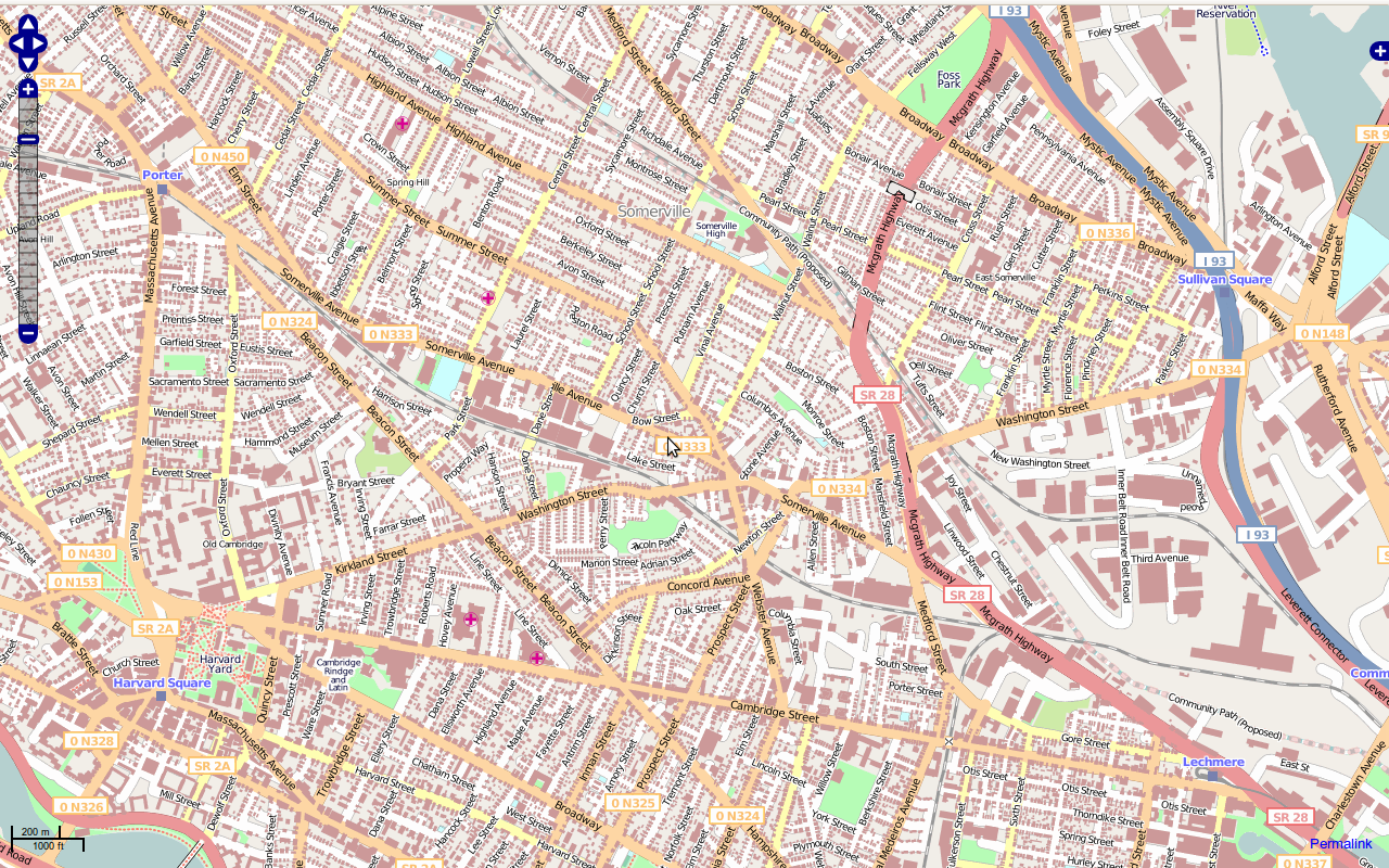
| 12:10, 18 January 2009 | Cambridge, MA.png (file) |  |
1.37 MB | Buildings from the massgis imports. | 1 |
| 01:41, 25 December 2008 | OpenSantaMap-Edgemaster.png (file) |  |
526 KB | 1 | |
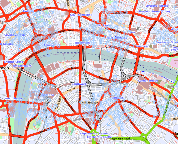
| 01:40, 21 December 2008 | LondonBoundaries-Nov08.png (file) |  |
301 KB | 1 | |
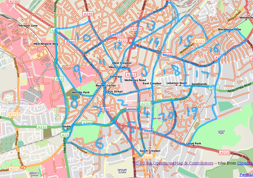
| 18:59, 25 August 2008 | 080825-Croydon-Cake.png (file) |  |
535 KB | 1 | |
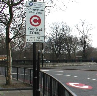
| 14:58, 16 June 2008 | LondonCC.jpg (file) |  |
74 KB | 1 | |
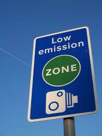
| 14:58, 16 June 2008 | LondonLEZ.jpg (file) |  |
11 KB | 1 | |
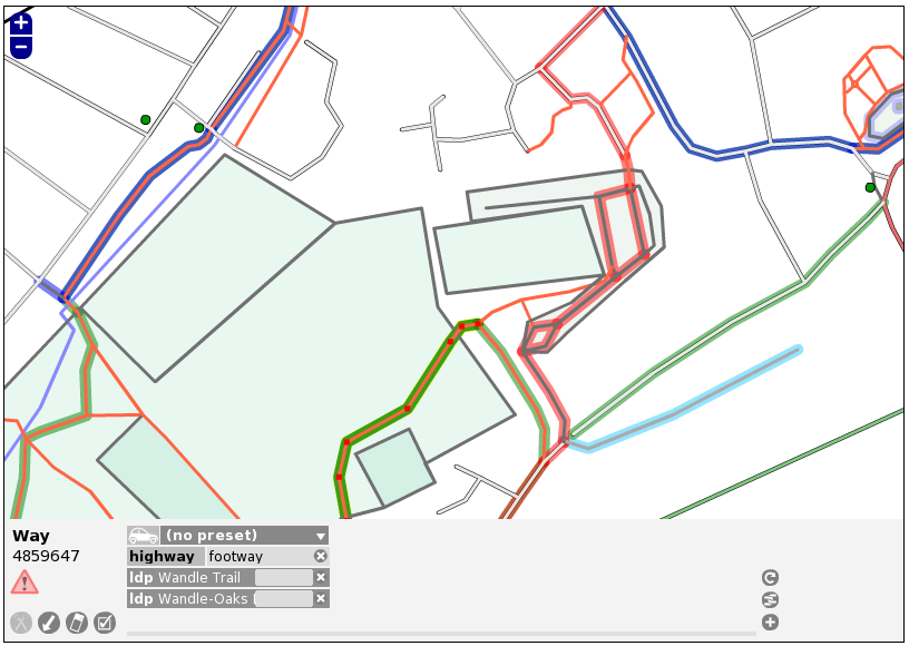
| 19:37, 22 March 2008 | Potlatch08.png (file) |  |
105 KB | Screenshot of the upcoming potlatch 0.8 release, featuring relations with specific support for cycle routes and long distance paths. | 1 |
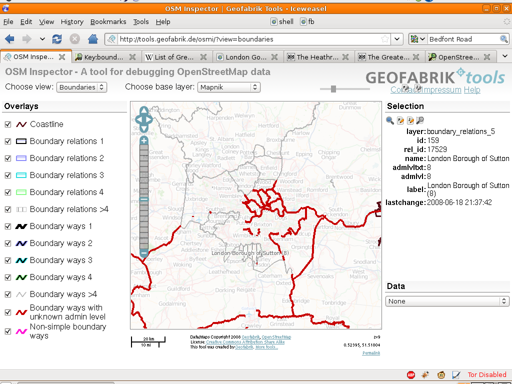
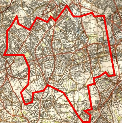
| 16:01, 27 February 2008 | Sutton NPE.PNG (file) |  |
482 KB | 2 | |
| 12:45, 24 August 2007 | Mapnik-highway-primary.png (file) |  |
2 KB | Category:Mapnik map key images | 1 |
| 12:44, 24 August 2007 | Rendering-highway primary.png (file) |  |
3 KB | Change image - primary now renders as red by default | 2 |
| 12:31, 24 August 2007 | Rendering-highway trunk.png (file) |  |
6 KB | 2 | |
| 12:26, 24 August 2007 | Mapnik-highway-trunk.png (file) |  |
3 KB | Category:Mapnik map key images | 1 |
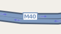
| 11:53, 24 August 2007 | Mapnik-highway-motorway.png (file) |  |
2 KB | Mapnik rendering of a motorway Category:Mapnik map key images | 1 |